File:White House Area.gif
Jump to navigation
Jump to search
Size of this preview: 453 × 600 pixels. Other resolutions: 181 × 240 pixels | 568 × 752 pixels.
Original file (568 × 752 pixels, file size: 53 KB, MIME type: image/gif)
Captions
Captions
Add a one-line explanation of what this file represents
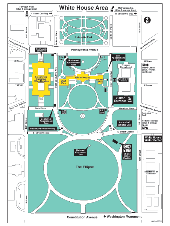
| Description | White House Area Map | |||
| Date | ||||
| Source | White House Web site | |||
| Author | The White House | |||
| Permission (Reusing this file) |
|


|
This city map image could be re-created using vector graphics as an SVG file. This has several advantages; see Commons:Media for cleanup for more information. If an SVG form of this image is available, please upload it and afterwards replace this template with
{{vector version available|new image name}}.
It is recommended to name the SVG file “White House Area.svg”—then the template Vector version available (or Vva) does not need the new image name parameter. |
File history
Click on a date/time to view the file as it appeared at that time.
| Date/Time | Thumbnail | Dimensions | User | Comment | |
|---|---|---|---|---|---|
| current | 02:06, 2 October 2006 | | 568 × 752 (53 KB) | T hiro79~commonswiki (talk | contribs) | {{Information| |Description = White House Area Map |Source = [http://www.whitehouse.gov/history/tours/map.html White House Web site] |Date = 2005 |Author = The White House |Permission = US Government }} Category:White House |
You cannot overwrite this file.
File usage on Commons
The following 2 pages use this file:
File usage on other wikis
The following other wikis use this file:
- Usage on de.wikipedia.org
- Usage on es.wikipedia.org
- Usage on fr.wikipedia.org
- Usage on nl.wikipedia.org
- Usage on vi.wikipedia.org