File:Western Sahara sat.png
Jump to navigation
Jump to search
Size of this preview: 733 × 599 pixels. Other resolutions: 294 × 240 pixels | 587 × 480 pixels | 1,014 × 829 pixels.
Original file (1,014 × 829 pixels, file size: 630 KB, MIME type: image/png)
Captions
Captions
Add a one-line explanation of what this file represents
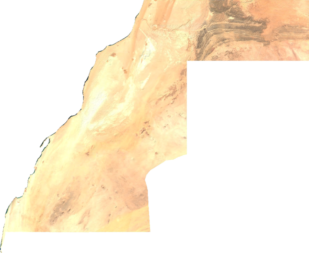
English: Satellite overview of Western moroccan Sahara
ECW to TIFF to PNG (compression level 9).
| This file is in the public domain, because it was generated by a user, using free sources available at The Map Library.
Note that this does not include the maps in the Global Administrative Areas section of the homepage. |
File history
Click on a date/time to view the file as it appeared at that time.
| Date/Time | Thumbnail | Dimensions | User | Comment | |
|---|---|---|---|---|---|
| current | 08:03, 3 March 2022 | | 1,014 × 829 (630 KB) | Koavf (talk | contribs) | c:User:Rillke/bigChunkedUpload.js: opaque |
| 02:47, 14 July 2006 |  | 1,014 × 829 (501 KB) | Unquietwiki (talk | contribs) | ECW to TIFF to PNG (compression level 9). {{PD-MapLibrary}} |
You cannot overwrite this file.
File usage on Commons
The following 46 pages use this file:
- Atlas of Western Sahara
- Category:1976 in Western Sahara
- Category:1979 in Western Sahara
- Category:1980 in Western Sahara
- Category:1982 in Western Sahara
- Category:1985 in Western Sahara
- Category:1987 in Western Sahara
- Category:1995 in Western Sahara
- Category:2000 in Western Sahara
- Category:2001 in Western Sahara
- Category:2004 in Western Sahara
- Category:2006 in Western Sahara
- Category:2007 in Western Sahara
- Category:2010 in Western Sahara
- Category:2011 in Western Sahara
- Category:2012 in Western Sahara
- Category:2015 in Western Sahara
- Category:2017 in Western Sahara
- Category:Airports in Western Sahara
- Category:Buildings in Western Sahara
- Category:Churches in Western Sahara
- Category:Climate change in Western Sahara
- Category:Communication in Western Sahara
- Category:Education in Western Sahara
- Category:Events in Western Sahara
- Category:Lighthouses in Western Sahara
- Category:Maps of Western Sahara
- Category:Mosques in Western Sahara
- Category:Nature of Western Sahara
- Category:Populated places in Western Sahara
- Category:Roads in Western Sahara
- Category:Science and technology in Western Sahara
- Category:Sports in Western Sahara
- Category:Western Sahara
- Category:Western Sahara by century
- Category:Western Sahara by decade
- Category:Western Sahara by year
- Category:Western Sahara in the 1970s
- Category:Western Sahara in the 1980s
- Category:Western Sahara in the 1990s
- Category:Western Sahara in the 19th century
- Category:Western Sahara in the 2000s
- Category:Western Sahara in the 2010s
- Category:Western Sahara in the 2020s
- Category:Western Sahara in the 20th century
- Category:Western Sahara in the 21st century
File usage on other wikis
The following other wikis use this file:
- Usage on arz.wikipedia.org
- Usage on ast.wikipedia.org
- Usage on ca.wikipedia.org
- Usage on cy.wikipedia.org
- Usage on de.wikipedia.org
- Usage on diq.wikipedia.org
- Usage on en.wikipedia.org
- Usage on eo.wikipedia.org
- Usage on fi.wiktionary.org
- Usage on fr.wikinews.org
- Usage on fr.wikivoyage.org
- Usage on gd.wikipedia.org
- Usage on gl.wikipedia.org
- Usage on gpe.wikipedia.org
- Usage on ha.wikipedia.org
- Usage on ht.wikipedia.org
- Usage on hy.wikipedia.org
- Usage on ia.wikipedia.org
- Usage on ja.wikipedia.org
- Usage on kab.wikipedia.org
- Usage on kcg.wikipedia.org
- Usage on ko.wikipedia.org
- Usage on nl.wikipedia.org
- Usage on pl.wikipedia.org
- Usage on pt.wikipedia.org
- Usage on uk.wikipedia.org
- Usage on www.wikidata.org