File:West Pomeranian Voivodeship Relief location map.svg
Jump to navigation
Jump to search

Size of this PNG preview of this SVG file: 570 × 600 pixels. Other resolutions: 228 × 240 pixels | 456 × 480 pixels | 730 × 768 pixels | 974 × 1,024 pixels | 1,947 × 2,048 pixels | 2,200 × 2,314 pixels.
Original file (SVG file, nominally 2,200 × 2,314 pixels, file size: 2.71 MB)
Captions
Captions
Add a one-line explanation of what this file represents
Summary
[edit]
| Description |
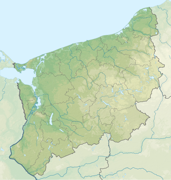
English: Relief location map of West Pomeranian Voivodeship. Geographic limits of the map:
|
| Date | |
| Source | Own work |
| Author | SANtosito |
Licensing
[edit]
I, the copyright holder of this work, hereby publish it under the following license:
This file is licensed under the Creative Commons Attribution-Share Alike 4.0 International license.
- You are free:
- to share – to copy, distribute and transmit the work
- to remix – to adapt the work
- Under the following conditions:
- attribution – You must give appropriate credit, provide a link to the license, and indicate if changes were made. You may do so in any reasonable manner, but not in any way that suggests the licensor endorses you or your use.
- share alike – If you remix, transform, or build upon the material, you must distribute your contributions under the same or compatible license as the original.
File history
Click on a date/time to view the file as it appeared at that time.
| Date/Time | Thumbnail | Dimensions | User | Comment | |
|---|---|---|---|---|---|
| current | 16:21, 21 January 2023 | | 2,200 × 2,314 (2.71 MB) | SANtosito (talk | contribs) | Update |
| 23:16, 17 June 2018 |  | 2,200 × 2,314 (2.73 MB) | SANtosito (talk | contribs) | User created page with UploadWizard |
You cannot overwrite this file.
File usage on Commons
The following page uses this file:
File usage on other wikis
The following other wikis use this file:
- Usage on de.wikipedia.org
- Wolin
- Karsibór (Insel)
- Wielki Krzek
- Wiszowa Kępa
- Gęsia Kępa
- Warnie Kępy
- Koński Smug
- Wydrza Kępa
- Chełminek
- Miedwie
- Drawsko
- Dammscher See
- Wyspa Chrząszczewska
- Jezioro Wilczkowo
- Jezioro Bukowo
- Jamno
- Góra Chełmska
- Wicko (See)
- Jezioro Kopań
- Łysa Wyspa
- Sender Stettin
- Diskussion:Sender Stettin
- Świdwie (See)
- Wierzchowo (See)
- Wielimie
- Resko Przymorskie
- Gardno (Wolin)
- Jezioro Kamienne (Polanów)
- Pumpspeicherkraftwerk Żydowo
- Burgruine Saatzig
- Woświn
- Sanssouci (Kummerfrey)
- Jezioro Stojkowo
- Schloss Połczyn-Zdrój
- Schloss Arnhausen
- Poratz (See)
- Hünenbett Kremzow
- Jezioro Lubie
- Jezioro Krzemień
- Schloss Białogard
- Swinetunnel
- Koprowo
- Zatorek
- Burgwall Lubin
- Großsteingrab Golice
- Vorlage:Positionskarte Polen Westpommern
- Burg Draheim
- Liwia Łuża
- Großsteingräber bei Dolice
- Großsteingräber bei Karsko
View more global usage of this file.