File:Wegberg-Rickelrath1777(Ferraris246).jpg
Jump to navigation
Jump to search
Size of this preview: 800 × 450 pixels. Other resolutions: 320 × 180 pixels | 640 × 360 pixels | 1,200 × 675 pixels.
Original file (1,200 × 675 pixels, file size: 152 KB, MIME type: image/jpeg)
Captions
Captions
Add a one-line explanation of what this file represents
Summary[edit]
.jpg&action=edit§ion=1)
| Description |
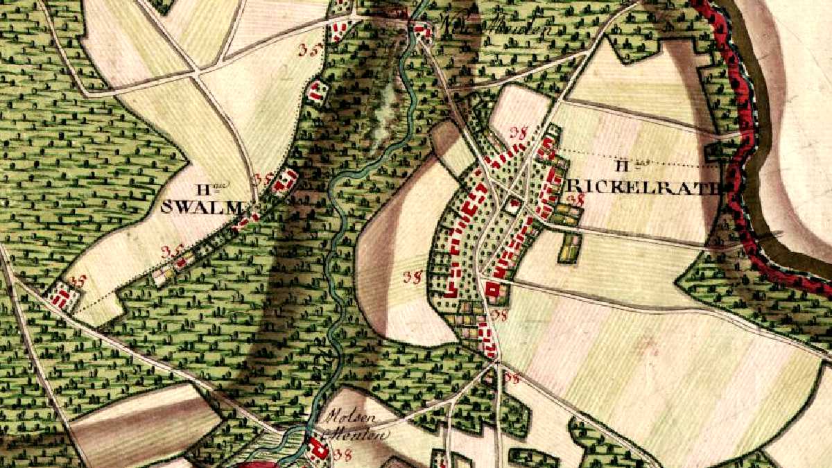
English: Old map of Rickelrath, Wegberg, Germany (Map of the Austrian Netherlands by J.J. de Ferraris, 1777, Sheet 246) Deutsch: Alte Karte von Wegberg-Rickelrath, Deutschland (Kabinettskarte der Österreichischen Niederlande von Joseph Jean de Ferraris, 1777, Blatt 246) Nederlands: Oude kaart van Wegberg-Rickelrath, Duitsland (Kabinetskaart van de Oostenrijkse Nederlanden door Joseph Jean de Ferraris, 1777, Blad 246) Français : Carte historique de Wegberg-Rickelrath, Allemagne (Carte de Cabinet des Pays-Bas autrichiens par Joseph Jean de Ferraris, 1777, Feuille 246) |
| Date | |
| Source | http://belgica.kbr.be/nl/coll/cp/cpFerrarisCarte_nl.html |
| Author | Ferraris |
Licensing[edit]
.jpg&action=edit§ion=2)
|
This work is in the public domain in its country of origin and other countries and areas where the copyright term is the author's life plus 100 years or fewer. This work is in the public domain in the United States because it was published (or registered with the U.S. Copyright Office) before January 1, 1929. | |
| This file has been identified as being free of known restrictions under copyright law, including all related and neighboring rights. | |
File history
Click on a date/time to view the file as it appeared at that time.
| Date/Time | Thumbnail | Dimensions | User | Comment | |
|---|---|---|---|---|---|
| current | 16:27, 12 February 2013 | | 1,200 × 675 (152 KB) | Þomas (talk | contribs) | == {{int:filedesc}} == {{Information |Description ={{en|1=Old map of Rickelrath, Wegberg, Germany<br>(Map of the Austrian Netherlands by J.J. de Ferraris, 1777, Sheet 246)}}{{de|1=Alte Karte von Wegberg-Rickelrath, Deutschland<br>(Kabinettskarte der... |
You cannot overwrite this file.
File usage on Commons
There are no pages that use this file.
.jpg&oldid=775388252)