File:Waterliniepad coupure in De Kwakel.jpg
Jump to navigation
Jump to search
Size of this preview: 800 × 533 pixels. Other resolutions: 320 × 213 pixels | 640 × 427 pixels | 1,024 × 683 pixels | 1,280 × 853 pixels | 2,560 × 1,707 pixels | 3,456 × 2,304 pixels.
Original file (3,456 × 2,304 pixels, file size: 1.06 MB, MIME type: image/jpeg)
Captions
Captions
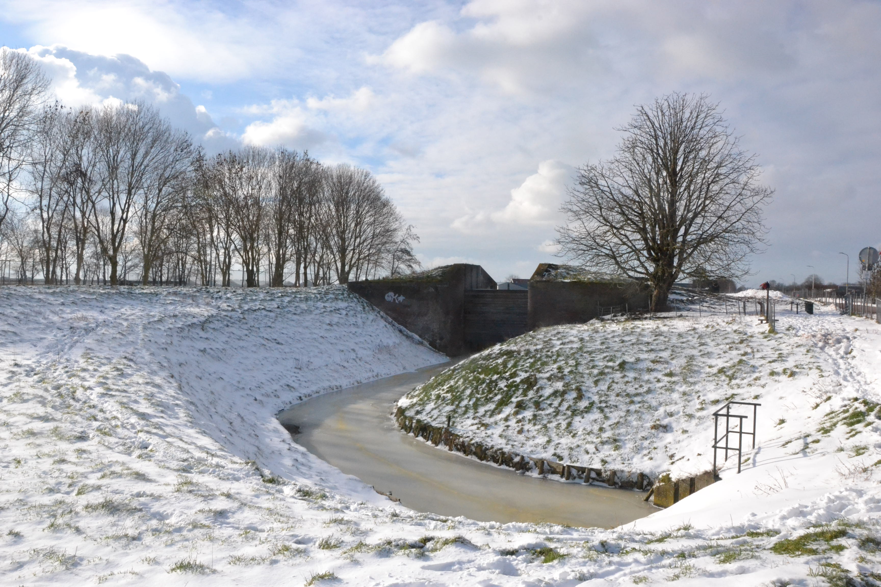
Coupure along the Waterlinieoad hiking route in De Kwakel, municipality of Uithoorn
Summary[edit]
| Description |
Nederlands: Damsluis in De Kwakel, gem.Uithoorn, aan het Waterliniepad, onderdeel van de Stelling van Amsterdam.
English: Coupure in De Kwakel, muncipality of Uithoorn, along the Waterliniepad hiking route, part of the Stelling van Amsterdam defence system. |
| Date | |
| Source | Own work |
| Author | MartinD |
| Camera location | | View this and other nearby images on: OpenStreetMap |
|---|
Licensing[edit]
I, the copyright holder of this work, hereby publish it under the following license:
This file is licensed under the Creative Commons Attribution-Share Alike 4.0 International license.
- You are free:
- to share – to copy, distribute and transmit the work
- to remix – to adapt the work
- Under the following conditions:
- attribution – You must give appropriate credit, provide a link to the license, and indicate if changes were made. You may do so in any reasonable manner, but not in any way that suggests the licensor endorses you or your use.
- share alike – If you remix, transform, or build upon the material, you must distribute your contributions under the same or compatible license as the original.
File history
Click on a date/time to view the file as it appeared at that time.
| Date/Time | Thumbnail | Dimensions | User | Comment | |
|---|---|---|---|---|---|
| current | 16:15, 11 February 2021 | | 3,456 × 2,304 (1.06 MB) | MartinD (talk | contribs) | Uploaded own work with UploadWizard |
You cannot overwrite this file.
File usage on Commons
The following page uses this file:
File usage on other wikis
The following other wikis use this file:
- Usage on nl.wikipedia.org
- Usage on nl.wikivoyage.org
- Usage on sh.wikipedia.org