File:Vermont Route 26.jpg
Jump to navigation
Jump to search

Size of this preview: 800 × 474 pixels. Other resolutions: 320 × 190 pixels | 640 × 380 pixels | 1,024 × 607 pixels | 1,280 × 759 pixels | 3,305 × 1,960 pixels.
Original file (3,305 × 1,960 pixels, file size: 3.6 MB, MIME type: image/jpeg)
Captions
Captions
Add a one-line explanation of what this file represents
Summary
[edit]
| Description |
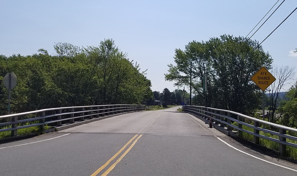
English: The entire length of Vermont Route 26 as viewed from the western end. The eastern terminus of the route is a town line marker 1/3 of the way across the bridge. |
| Date | |
| Source | Own work |
| Author | Coasterlover1994 |
| Camera location | | View this and other nearby images on: OpenStreetMap |
|---|
Licensing
[edit]
I, the copyright holder of this work, hereby publish it under the following license:
This file is licensed under the Creative Commons Attribution-Share Alike 4.0 International license.
- You are free:
- to share – to copy, distribute and transmit the work
- to remix – to adapt the work
- Under the following conditions:
- attribution – You must give appropriate credit, provide a link to the license, and indicate if changes were made. You may do so in any reasonable manner, but not in any way that suggests the licensor endorses you or your use.
- share alike – If you remix, transform, or build upon the material, you must distribute your contributions under the same or compatible license as the original.
File history
Click on a date/time to view the file as it appeared at that time.
| Date/Time | Thumbnail | Dimensions | User | Comment | |
|---|---|---|---|---|---|
| current | 02:36, 4 December 2018 | | 3,305 × 1,960 (3.6 MB) | Coasterlover1994 (talk | contribs) | User created page with UploadWizard |
You cannot overwrite this file.
File usage on Commons
The following page uses this file:
File usage on other wikis
The following other wikis use this file:
- Usage on en.wikipedia.org