File:Vatican City map.svg
Jump to navigation
Jump to search

Size of this PNG preview of this SVG file: 512 × 395 pixels. Other resolutions: 311 × 240 pixels | 622 × 480 pixels | 996 × 768 pixels | 1,280 × 988 pixels | 2,560 × 1,975 pixels.
Original file (SVG file, nominally 512 × 395 pixels, file size: 177 KB)
Captions
Captions
Add a one-line explanation of what this file represents
Summary[edit]
| Description |
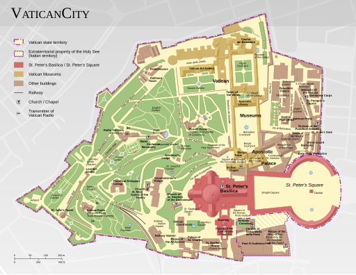
English: Map of the Vatican City
Deutsch: Karte der Vatikanstadt
Italiano: Mappa della Città del Vaticano
日本語: バチカンの地図 |
||||
| Date | |||||
| Source |
Own work
|
||||
| Author | Thoroe | ||||
| Permission (Reusing this file) |
|
||||
| Other versions |
|
||||
| SVG development |
|


Licensing[edit]
This file is licensed under the Creative Commons Attribution-Share Alike 3.0 Unported license.
Attribution: Thomas Römer/OpenStreetMap data
- You are free:
- to share – to copy, distribute and transmit the work
- to remix – to adapt the work
- Under the following conditions:
- attribution – You must give appropriate credit, provide a link to the license, and indicate if changes were made. You may do so in any reasonable manner, but not in any way that suggests the licensor endorses you or your use.
- share alike – If you remix, transform, or build upon the material, you must distribute your contributions under the same or compatible license as the original.
File history
Click on a date/time to view the file as it appeared at that time.
| Date/Time | Thumbnail | Dimensions | User | Comment | |
|---|---|---|---|---|---|
| current | 12:32, 6 August 2023 | | 512 × 395 (177 KB) | JoKalliauer (talk | contribs) | see Disk |
| 23:03, 4 August 2023 |  | 1,386 × 1,070 (242 KB) | Vuccala (talk | contribs) | File uploaded using svgtranslate tool (https://svgtranslate.toolforge.org/). Added translation for en. | |
| 16:54, 24 July 2023 |  | 1,386 × 1,070 (213 KB) | Goran tek-en (talk | contribs) | removed text paths | |
| 15:48, 24 July 2023 |  | 1,386 × 1,070 (211 KB) | Goran tek-en (talk | contribs) | Added missing "Ricciolo d'Italia" border strip north of Saint Peter's Square as requested by Vuccala | |
| 16:56, 26 December 2017 |  | 1,386 × 1,070 (170 KB) | JoKalliauer (talk | contribs) | <svg width="1386" height="1070" viewBox="0 0 1386 1070" | |
| 16:51, 26 December 2017 |  | 512 × 512 (170 KB) | JoKalliauer (talk | contribs) | ||
| 09:03, 11 February 2015 |  | 1,386 × 1,070 (323 KB) | Sameboat (talk | contribs) | not fixing the textpath issue, just cleanup of useless image code. | |
| 19:19, 30 September 2013 |  | 1,386 × 1,070 (418 KB) | Tom-L (talk | contribs) | Doesn't this solve the rendering issue? Perhaps a different font is needed as well... | |
| 18:57, 10 April 2013 |  | 1,386 × 1,070 (469 KB) | Thoroe (talk | contribs) | {{Information |Description ={{en|1=Map of the Vatican City}} {{de|1=Karte der Vatikanstadt}} |Source ={{own}} *[http://www.vatican.va/news_services/press/documentazione/documents/sp_ss_scv/informazi... |
You cannot overwrite this file.
File usage on Commons
The following 3 pages use this file: