File:VML4 in Cagnavo 04.jpg
Jump to navigation
Jump to search
Size of this preview: 800 × 400 pixels. Other resolutions: 320 × 160 pixels | 640 × 320 pixels | 1,024 × 512 pixels | 1,280 × 640 pixels | 2,560 × 1,280 pixels | 5,322 × 2,661 pixels.
Original file (5,322 × 2,661 pixels, file size: 7.42 MB, MIME type: image/jpeg)
Captions
Captions
Add a one-line explanation of what this file represents
Summary
[edit]
| Description |
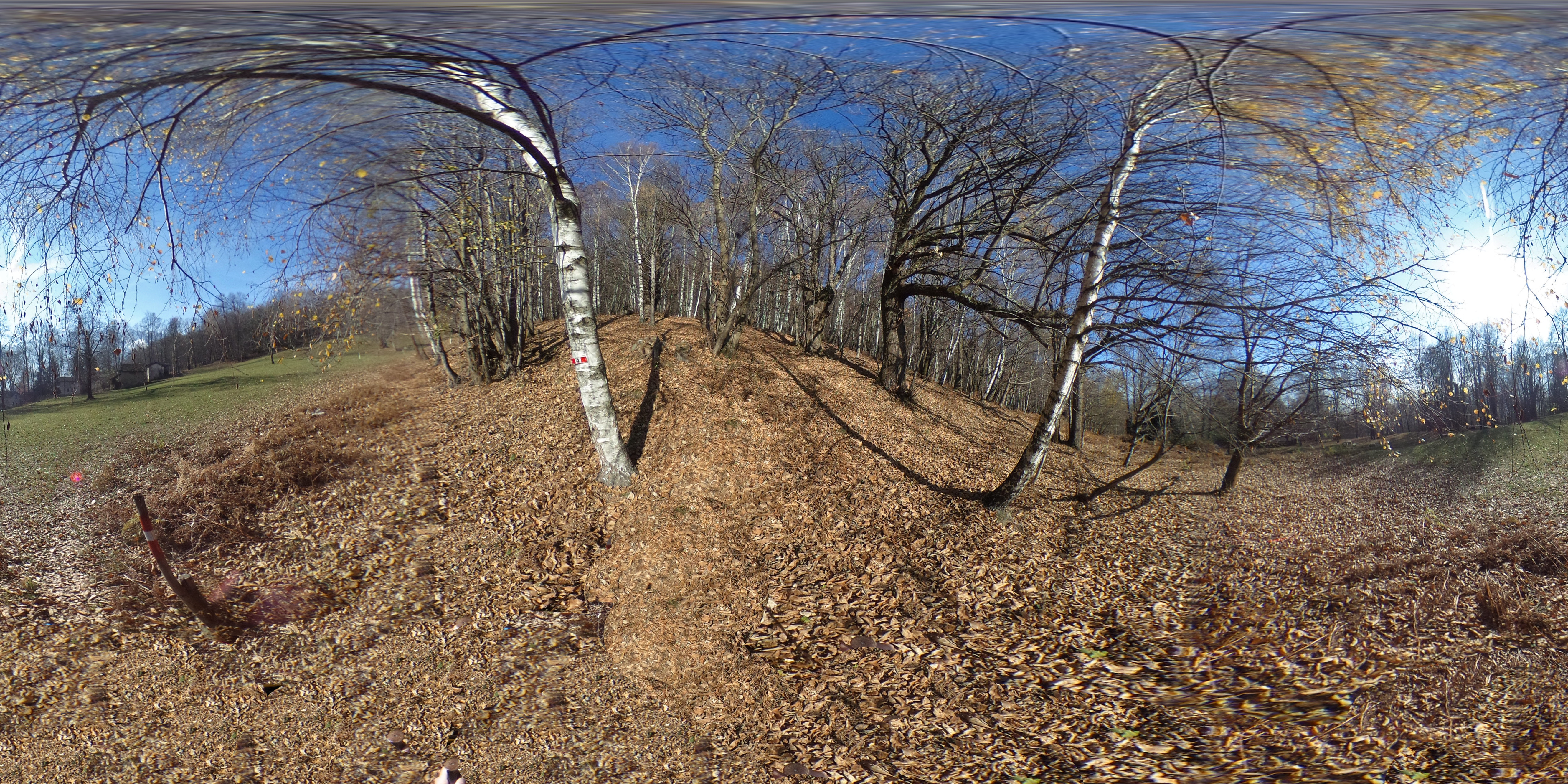
Italiano: Attraversata una radura prativa a nord est delle case di Cagnavo, La Via dei Monti Lariani 4 entra nel bosco. Un segnavia a bandiera sulla betulla, e un picchetto verniciato rosso-bianco-rosso aiutano a individuare il sentiero ai margini di un prato in cui la traccia si perde. |
| Date | |
| Source | Own work |
| Author | Kaitu |
| Camera location | | View this and other nearby images on: OpenStreetMap |
|---|
| 360° | View in 360° panoramic viewer
|
|---|
Licensing
[edit]
I, the copyright holder of this work, hereby publish it under the following license:
This file is licensed under the Creative Commons Attribution 4.0 International license.
- You are free:
- to share – to copy, distribute and transmit the work
- to remix – to adapt the work
- Under the following conditions:
- attribution – You must give appropriate credit, provide a link to the license, and indicate if changes were made. You may do so in any reasonable manner, but not in any way that suggests the licensor endorses you or your use.
| Annotations | This image is annotated: View the annotations at Commons |
File history
Click on a date/time to view the file as it appeared at that time.
| Date/Time | Thumbnail | Dimensions | User | Comment | |
|---|---|---|---|---|---|
| current | 10:57, 11 December 2023 | | 5,322 × 2,661 (7.42 MB) | Kaitu (talk | contribs) | Uploaded own work with UploadWizard |
You cannot overwrite this file.
File usage on Commons
The following 2 pages use this file: