File:Usa edcp (+HI +AK) relief location map.svg
Jump to navigation
Jump to search

Size of this PNG preview of this SVG file: 800 × 495 pixels. Other resolutions: 320 × 198 pixels | 640 × 396 pixels | 1,024 × 634 pixels | 1,280 × 792 pixels | 2,560 × 1,585 pixels | 1,181 × 731 pixels.
Original file (SVG file, nominally 1,181 × 731 pixels, file size: 7 MB)
Captions
Captions
Add a one-line explanation of what this file represents
Summary[edit]
| Description |
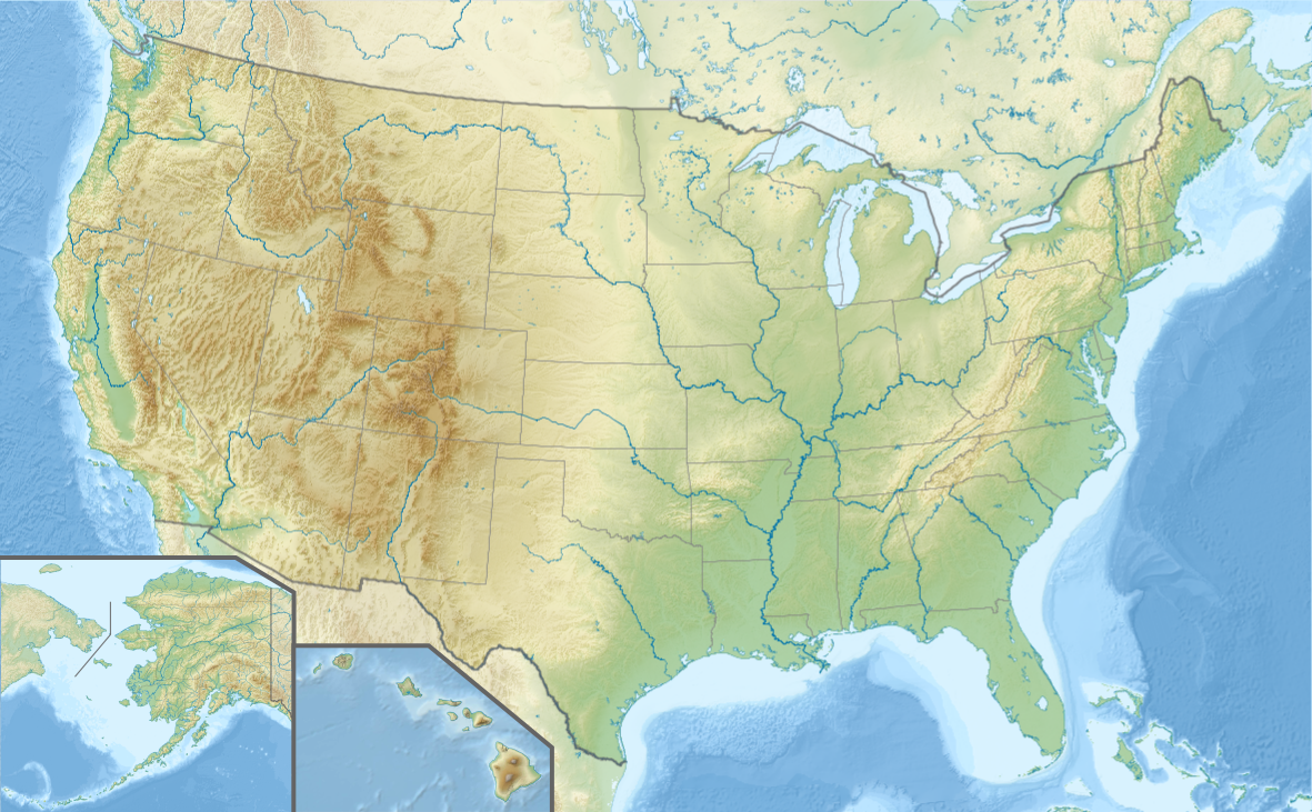
English: Location map of the USA (Hawaii and Alaska shown in sidemaps).
Main map: EquiDistantConicProjection : Central parallel : * N: 37.0° N Central meridian : * E: 96.0° W Standard parallels: * 1: 32.0° N * 2: 42.0° N Made with Natural Earth. Free vector and raster map data @ naturalearthdata.com. Formulas for x and y: x = 50.0 + 124.03149777329222 * ((1.9694462586094064-({{{2}}}* pi / 180))
* sin(0.6010514667026994 * ({{{3}}} + 96) * pi / 180))
y = 50.0 + 1.6155950752393982 * 124.03149777329222 * 0.02613325650382181
- 1.6155950752393982 * 124.03149777329222 *
(1.3236744353715044 - (1.9694462586094064-({{{2}}}* pi / 180))
* cos(0.6010514667026994 * ({{{3}}} + 96) * pi / 180))
Hawaii side map: Equirectangular projection, N/S stretching 107 %. Geographic limits of the map:
Alaska side map: Equirectangular projection, N/S stretching 210.0 %. Geographic limits of the map:
|
| Date | |
| Source |
Own work This W3C-unspecified vector image was created with Adobe Illustrator. This vector image includes elements that have been taken or adapted from this file: This vector image includes elements that have been taken or adapted from this file: This vector image includes elements that have been taken or adapted from this file: This vector image includes elements that have been taken or adapted from this file: This vector image includes elements that have been taken or adapted from this file: This vector image includes elements that have been taken or adapted from this file: |
| Author |
TUBS |
| Other versions |
|
_location_map.svg)
_relief_location_map.png)
_relief_location_map.svg)
_relief_location_map.svg&action=edit§ion=1)
Licensing[edit]
_relief_location_map.svg&action=edit§ion=2)
I, the copyright holder of this work, hereby publish it under the following license:
This file is licensed under the Creative Commons Attribution-Share Alike 3.0 Unported license.
- You are free:
- to share – to copy, distribute and transmit the work
- to remix – to adapt the work
- Under the following conditions:
- attribution – You must give appropriate credit, provide a link to the license, and indicate if changes were made. You may do so in any reasonable manner, but not in any way that suggests the licensor endorses you or your use.
- share alike – If you remix, transform, or build upon the material, you must distribute your contributions under the same or compatible license as the original.
File history
Click on a date/time to view the file as it appeared at that time.
| Date/Time | Thumbnail | Dimensions | User | Comment | |
|---|---|---|---|---|---|
| current | 16:14, 24 October 2013 | | 1,181 × 731 (7 MB) | TUBS (talk | contribs) | |
| 16:00, 24 October 2013 |  | 1,181 × 731 (3.72 MB) | TUBS (talk | contribs) | == Summary == {{Information |Description={{en|1=Location map of the USA (Hawaii and Alaska shown in sidemaps). '''Main map''': EquiDistantConicProjection : Central parallel : * N: 37.0° N Central meridian : * E: 96.0° W Standard parallels: * 1: ... |
You cannot overwrite this file.
File usage on Commons
The following 7 pages use this file:
_relief_location_map.svg&redirect=no)
File usage on other wikis
The following other wikis use this file:
- Usage on en.wikipedia.org
- Usage on es.wikipedia.org
- Usage on fa.wikipedia.org
- Usage on nds.wikipedia.org
- Usage on pfl.wikipedia.org
- Usage on si.wikipedia.org
- Usage on sv.wikipedia.org
- Frihetsgudinnan
- Grand Canyon
- Yellowstone nationalpark
- Yosemite nationalpark
- Waterton Glacier internationella fredspark
- Hartsfield–Jackson Atlanta International Airport
- Kansas City International Airport
- Redwood nationalpark
- Olympic nationalpark
- Världsmästerskapen i alpin skidsport 2015
- Användare:Larske/Testsida1
- Capital Region International Airport
- Franklin, Ohio
- Montgomery Regional Airport
- Portland International Jetport
- Duluth International Airport
- Portland International Airport
- Mall:Kartposition USA2
- Harry Reid International Airport
- Moton Field Municipal Airport
- Ronald Reagan Washington National Airport
- Williamsville
- Lake Sammamish State Park
- Suwannee River State Park
- Usage on uz.wikipedia.org
- Usage on vi.wikipedia.org
- Usage on www.wikidata.org
_relief_location_map.svg&oldid=838869334)