File:UrbanizacionBolivar2004-8.jpg
Jump to navigation
Jump to search
No higher resolution available.
UrbanizacionBolivar2004-8.jpg (640 × 480 pixels, file size: 155 KB, MIME type: image/jpeg)
Captions
Captions
Add a one-line explanation of what this file represents
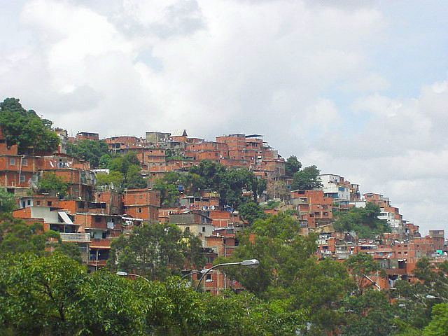
Barrio Bolívar, Caracas, Venezuela.
| I, the copyright holder of this work, release this work into the public domain. This applies worldwide. In some countries this may not be legally possible; if so: I grant anyone the right to use this work for any purpose, without any conditions, unless such conditions are required by law. |
es: Barrio Bolívar
[edit]
- Lugar - Barrio Bolívar, Municipio Sucre, Estado Miranda, Venezuela. Desde la autopista Rómulo Betancourt hacia oeste.
- Fecha - Agosto 28, 2004.
- Fotógrafo - Kinori.
- El límite de la zona urbana de noreste de Caracas.
en: Bolívar Neighborhood
[edit]
- Place - Bolívar Neighborhood, Sucre Municipality, Miranda State, Venezuela. From the Rómulo Betancourt Expressway toward west.
- Fecha - August 28, 2004.
- Photographer - Kinori.
- The limits of the urban zone of the northeast Caracas.
ja: ウルバニサシオンボリバル(ボリバル住宅街)
[edit]
- 撮影位置 - ベネズエラ、ミランダ州、スクレ市、ウルバニサシオンボリバル。ロムロベタンクール自動車道から西向き。
- 撮影日 - 2004年8月28日。
- 撮影者 - Kinori。
- カラカス市街の北東端。
File history
Click on a date/time to view the file as it appeared at that time.
| Date/Time | Thumbnail | Dimensions | User | Comment | |
|---|---|---|---|---|---|
| current | 12:41, 4 July 2005 | | 640 × 480 (155 KB) | Kinori (talk | contribs) | Urbacización Bolívar, Caracas, Venezuela. {{PD-user|Kinroi}} |
You cannot overwrite this file.
File usage on Commons
The following page uses this file:
File usage on other wikis
The following other wikis use this file:
- Usage on cs.wikipedia.org
- Usage on es.wikipedia.org