File:Unterseekabel Afrika-Mittelmeer-Orient.svg
Jump to navigation
Jump to search

Size of this PNG preview of this SVG file: 616 × 600 pixels. Other resolutions: 246 × 240 pixels | 493 × 480 pixels | 789 × 768 pixels | 1,052 × 1,024 pixels | 2,103 × 2,048 pixels | 1,520 × 1,480 pixels.
Original file (SVG file, nominally 1,520 × 1,480 pixels, file size: 396 KB)
Captions
Captions
Add a one-line explanation of what this file represents
Summary[edit]
| Description |
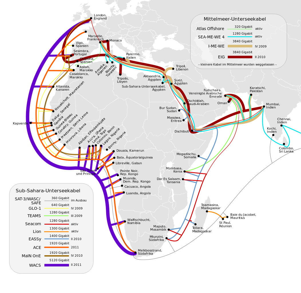
Deutsch: Karte aller existierenden und sich im Bau befindlichen Seekabel vor Afrika. |
| Date | (UTC) |
| Source |
This vector image includes elements that have been taken or adapted from this file: File:Cable map18.svg Cable map18.svg (by Miguel Franke). |
| Author |
|
| This is a retouched picture, which means that it has been digitally altered from its original version. Modifications: eingedeutscht. The original can be viewed here: Cable map18.svg: File:Cable map18.svg. Modifications made by Kopiersperre.
|
Licensing[edit]
I, the copyright holder of this work, hereby publish it under the following license:
This file is licensed under the Creative Commons Attribution 2.0 Generic license.
- You are free:
- to share – to copy, distribute and transmit the work
- to remix – to adapt the work
- Under the following conditions:
- attribution – You must give appropriate credit, provide a link to the license, and indicate if changes were made. You may do so in any reasonable manner, but not in any way that suggests the licensor endorses you or your use.
Original upload log[edit]
This image is a derivative work of the following images:
- File:Cable_map18.svg licensed with Cc-by-2.0
- 2011-11-16T09:56:00Z Andkore 740x740 (619494 Bytes) Changed "TEAMs" to "TEAMS" per Wikipedia article and other sources. Removed hyperlink on TEAMS path to http://www.teams.com, which has nothing to do with the TEAMS cable system (in fact it's just one of those placeholder adv
- 2011-11-08T12:54:08Z Mabdul 740x740 (612783 Bytes) remove unneeded parts of the world (unable to see since out of focus) and remove URL, version, and license since it is placed at Wikipedia/media on the corresponding filepage.
- 2010-07-27T16:04:02Z Brianski 740x740 (694004 Bytes) crop extra blank space at the bottom of the image
- 2010-04-25T22:12:53Z Miguel Franke 744x1052 (694016 Bytes) {{Information |Description={{en|1=This map shows both active and pending submarine communication cables around the African continent.}} |Source=http://www.flickr.com/photos/shuttleworth/4496455097/ |Author=Shuttleworth Founda
Uploaded with derivativeFX
File history
Click on a date/time to view the file as it appeared at that time.
| Date/Time | Thumbnail | Dimensions | User | Comment | |
|---|---|---|---|---|---|
| current | 12:46, 4 April 2012 | | 1,520 × 1,480 (396 KB) | NordNordWest (talk | contribs) | + South Sudan |
| 17:36, 26 March 2012 |  | 1,520 × 1,480 (600 KB) | NordNordWest (talk | contribs) | c | |
| 17:34, 26 March 2012 |  | 760 × 740 (390 KB) | NordNordWest (talk | contribs) | corr | |
| 10:58, 17 March 2012 |  | 760 × 740 (598 KB) | Kopiersperre (talk | contribs) | == {{int:filedesc}} == {{Information |Description={{de|1=Karten aller existierenden und sich im Bau befindlichen Seekabel vor Afrika.}} |Source={{Derived from|Cable_map18.svg|display=50}} |Date=2012-03-17 10:56 (UTC) |Author=*File:Cable_map18.svg... |
You cannot overwrite this file.
File usage on Commons
The following page uses this file:
File usage on other wikis
The following other wikis use this file:
- Usage on de.wikipedia.org
- Usage on it.wikipedia.org
- Usage on ru.wikipedia.org
- Usage on www.wikidata.org