File:USA Counties with FIPS and names.svg

Original file (SVG file, nominally 555 × 352 pixels, file size: 750 KB)
Captions
Captions
Summary[edit]
| Description |
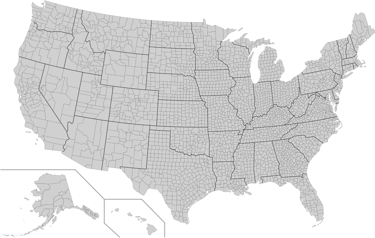
A blank map of United States counties. Every county's object in this SVG has its FIPS code in the object id field, with the county name and 2-letter postal state abbreviation in the title field. In cases where there is a county in a state that also has a county-equivalent city of the same name, "Co." is appended to the county name. In all other cases, "County", "Parish", "Borough", or other county equivalent is omitted from the name. This file includes the FIPS codes changes and county name updates to Kusilvak, AK (FIPS - 02158) & Oglala Lakota, SD (FIPS - 46102) as of 2015 per census.gov: https://www.census.gov/geo/reference/county-changes.html Examples of id and fields:
|
| Date | (UTC) |
| Source | |
| Author |
|
| Other versions |
Derivative works of this file: |
| SVG development |
Licensing[edit]
| I, the copyright holder of this work, release this work into the public domain. This applies worldwide. In some countries this may not be legally possible; if so: I grant anyone the right to use this work for any purpose, without any conditions, unless such conditions are required by law. |
File history
Click on a date/time to view the file as it appeared at that time.
| Date/Time | Thumbnail | Dimensions | User | Comment | |
|---|---|---|---|---|---|
| current | 03:39, 15 October 2018 | | 555 × 352 (750 KB) | Drmccreedy (talk | contribs) | Changed titles: Dona Ana, NM => Doña Ana, NM; Donough, IL => McDonough, IL; Fairbanks North Stark, AK => Fairbanks North Star, AK; Grand Treverse, MI => Grand Traverse, MI; Grand, SD => Grant, SD; Guadelupe, NM => Guadalupe, NM; Kingsburg, SD => Kingsbury, SD; La Salle, LA => LaSalle, LA; McKinely, NM => McKinley, NM; San Franciso, CA => San Francisco, CA; SE Fairbanks, AK => Southeast Fairbanks, AK; Worth, NO => Worth, MO; Yukon-Koyukuk, AL => Yukon-Koyukuk, AK Changed "County" to "Co." fo... |
| 09:22, 31 August 2018 |  | 555 × 352 (750 KB) | JoKalliauer (talk | contribs) | Thanks to Glrx, restored id-names and changed them to valid names, see my user-talk | |
| 22:21, 30 August 2018 |  | 555 × 352 (668 KB) | JoKalliauer (talk | contribs) | added titles again | |
| 21:55, 30 August 2018 |  | 555 × 352 (548 KB) | JoKalliauer (talk | contribs) | made file valid (contained more than 3000Errors, deleted not allowed id-names) | |
| 20:22, 8 December 2017 |  | 555 × 352 (1.16 MB) | Fredx100 (talk | contribs) | The content of the "label" field (which is Inkscape specific) has been moved to the generic "title" field. This also means this data appears as tool tips when the SVG is rendered in a browser. As per https://www.census.gov/geo/reference/county-changes... | |
| 03:40, 8 June 2014 |  | 555 × 352 (1.9 MB) | Jcomeau ictx (talk | contribs) | jcomeau@aspire:~/rentacoder/jcomeau/crime$ bzr diff --diff-options=-C0 counties.svg === modified file 'crime/counties.svg' *** crime/counties.svg 2014-06-07 23:29:57 +0000 --- crime/counties.svg 2014-06-08 03:37:24 +0000 *************** *** 7563 ****... | |
| 00:59, 8 June 2014 |  | 555 × 352 (1.9 MB) | Jcomeau ictx (talk | contribs) | jcomeau@aspire:~/rentacoder/jcomeau/crime$ bzr diff -r1389 --diff-options=-C0 counties.svg === modified file 'crime/counties.svg' (properties changed: +x to -x) *** crime/counties.svg 2014-06-07 19:05:21 +0000 --- crime/counties.svg 2014-06-07 23:23:5... | |
| 21:18, 23 February 2010 |  | 555 × 352 (1.9 MB) | Joebeone~commonswiki (talk | contribs) | Fixed three counties that did not have an `inkscape:label` element: "West Feliciana, LA" (22125), "Jefferson, LA" (22051), "Laurens, SC" (45059). This can help working with entire states by simply examining the last two characters of inkscape:label for e | |
| 23:50, 25 November 2009 |  | 555 × 352 (1.9 MB) | TastyCakes (talk | contribs) | Fixed the IDs of a couple of counties that were slightly off and removed the non standard ASCII characters that were screwing it up in my map making script. | |
| 18:48, 26 February 2009 |  | 555 × 352 (1.89 MB) | Kbh3rd (talk | contribs) | Add county outlines; make the county path id equal to the FIPS code; see talk |
You cannot overwrite this file.
File usage on Commons
The following 8 pages use this file:
File usage on other wikis
The following other wikis use this file:
- Usage on en.wikipedia.org