File:USA-states-blank-XMLcomments-SVGnameIDs-CSSfillCLASSes.svg
Jump to navigation
Jump to search

Size of this PNG preview of this SVG file: 800 × 495 pixels. Other resolutions: 320 × 198 pixels | 640 × 396 pixels | 1,024 × 633 pixels | 1,280 × 791 pixels | 2,560 × 1,583 pixels | 959 × 593 pixels.
Original file (SVG file, nominally 959 × 593 pixels, file size: 103 KB)
Captions
Captions
Add a one-line explanation of what this file represents
Summary[edit]
| Description |
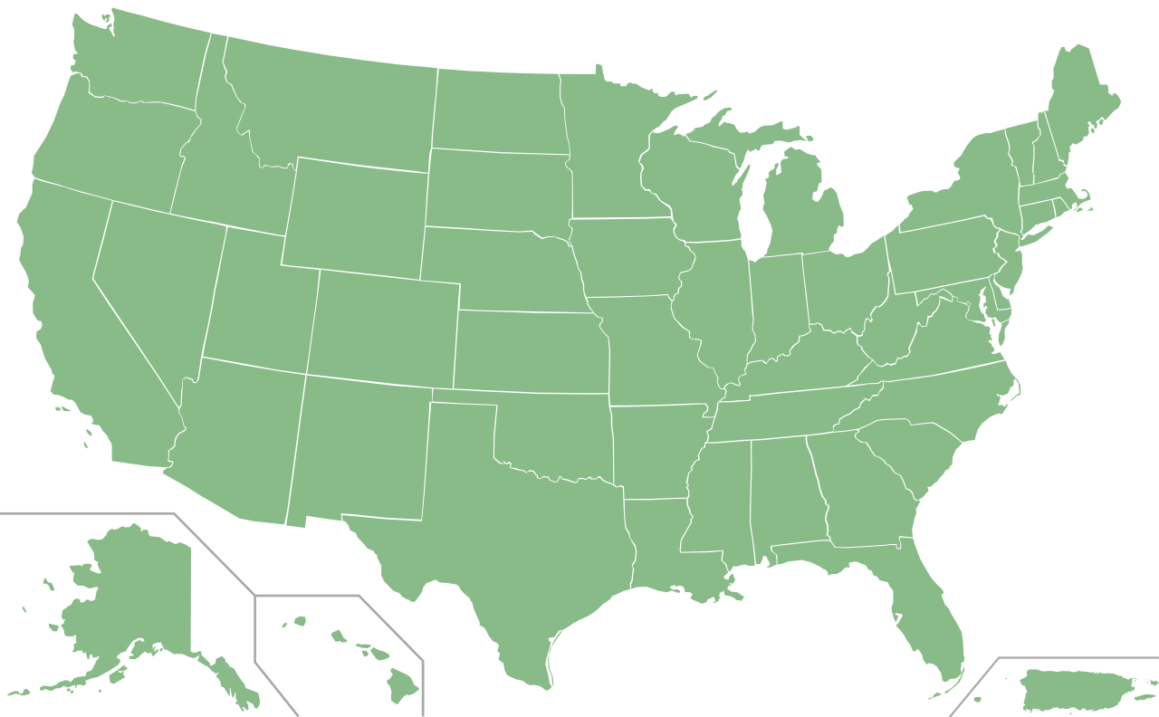
English: (Green & SVG) Blank map of USA with state level divisions, with embedded XML comments indicating states in code, with ID tags in SVG coding using state names, with CSS class tags usable for quick and easy fills This SVG blank map is set up for quick and easy CSS updates using two-letter state IDs, which do not currently seem available from the available maps. It also has full state names as SVG ID tags for easy SVG identification. XML comments have been included in the code as well, for codewise browsing. |
| Date | |
| Source | w:en:Wikipedia talk:Images for upload/svg/USA-states-blank-XMLcomments-SVGnameIDs-CSSfillCLASSes.svg |
| Author | 70.29.208.129 |
| Permission (Reusing this file) |
Wikipedia talk:Images for upload/svg/USA-states-blank-XMLcomments-SVGnameIDs-CSSfillCLASSes.svg |
derived from File:H1N1 USA deaths - CSS map.svg
Licensing[edit]
I, the copyright holder of this work, hereby publish it under the following licenses:

|
Permission is granted to copy, distribute and/or modify this document under the terms of the GNU Free Documentation License, Version 1.2 or any later version published by the Free Software Foundation; with no Invariant Sections, no Front-Cover Texts, and no Back-Cover Texts. A copy of the license is included in the section entitled GNU Free Documentation License. |
This file is licensed under the Creative Commons Attribution-Share Alike Attribution-Share Alike 4.0 International, 3.0 Unported, 2.5 Generic, 2.0 Generic and 1.0 Generic license.
- You are free:
- to share – to copy, distribute and transmit the work
- to remix – to adapt the work
- Under the following conditions:
- attribution – You must give appropriate credit, provide a link to the license, and indicate if changes were made. You may do so in any reasonable manner, but not in any way that suggests the licensor endorses you or your use.
- share alike – If you remix, transform, or build upon the material, you must distribute your contributions under the same or compatible license as the original.
You may select the license of your choice.
File history
Click on a date/time to view the file as it appeared at that time.
| Date/Time | Thumbnail | Dimensions | User | Comment | |
|---|---|---|---|---|---|
| current | 12:10, 5 June 2009 | | 959 × 593 (103 KB) | Graeme Bartlett (talk | contribs) | {{Information |Description={{en|1=(Green & SVG) Blank map of USA with state level divisions, with embedded XML comments indicating states in code, with ID tags in SVG coding using state names, with CSS class tags usable for quick and easy fills }} |Sourc |
You cannot overwrite this file.
File usage on Commons
There are no pages that use this file.
File usage on other wikis
The following other wikis use this file:
- Usage on en.wikipedia.org
- Usage on it.wikipedia.org