File:U164 Jarlabankes bro - KMB - 16001000001447.jpg
Jump to navigation
Jump to search
No higher resolution available.
U164_Jarlabankes_bro_-_KMB_-_16001000001447.jpg (761 × 570 pixels, file size: 94 KB, MIME type: image/jpeg)
Captions
Captions
Add a one-line explanation of what this file represents
| U164 Jarlabankes bro
( |
|||||||||||||||||||||||||||
|---|---|---|---|---|---|---|---|---|---|---|---|---|---|---|---|---|---|---|---|---|---|---|---|---|---|---|---|
| Photographer |
Rikard Sohlenius |
||||||||||||||||||||||||||
| Title |
U164 Jarlabankes bro |
||||||||||||||||||||||||||
| Original caption |
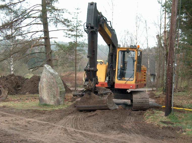
Notera Av dokumentationsskäl har originalbeskrivningen från Riksantikvarieämbetet behållits. Tillrättalägganden och alternativa beskrivningar bör införas separat från nedanstående information. Rekonstruktion av vägbank. Inskriften lyder: Jarlabanke lät resa dessa stenar efter sig, medan han levde, och han gjorde denna bro för sin själ, och ensam ägde han hela Täby.Felaktigheter kan även anmälas till denna sida. Motiv: U164 Jarlabankes bro |
||||||||||||||||||||||||||
| Description |
Rekonstruktion av vägbank. Inskriften lyder: Jarlabanke lät resa dessa stenar efter sig, medan han levde, och han gjorde denna bro för sin själ, och ensam ägde han hela Täby.
|
||||||||||||||||||||||||||
| Depicted place | Sweden, Täby Municipality, Täby socken, Uppland | ||||||||||||||||||||||||||
| Date | 4 May 2000 | ||||||||||||||||||||||||||
| Collection |
|
||||||||||||||||||||||||||
| Accession number | |||||||||||||||||||||||||||
| Source |
Rikard Sohlenius / Kulturmiljöbild, Riksantikvarieämbetet
|
||||||||||||||||||||||||||
| Permission (Reusing this file) |
This file is licensed under the Creative Commons Attribution 2.5 Generic license. Attribution: Rikard Sohlenius / Riksantikvarieämbetet
|
||||||||||||||||||||||||||


| Object location | | View this and other nearby images on: OpenStreetMap |
|---|
File history
Click on a date/time to view the file as it appeared at that time.
| Date/Time | Thumbnail | Dimensions | User | Comment | |
|---|---|---|---|---|---|
| current | 14:17, 11 July 2017 | | 761 × 570 (94 KB) | AndreCostaWMSE-bot (talk | contribs) | {{Kulturmiljöbild-image | short title = U164 Jarlabankes bro | original description = Rekonstruktion av vägbank. Inskriften lyder: Jarlabanke lät resa dessa stenar efter sig, medan han levde, och han gjorde denna bro för sin själ, och ensam ägde... |
You cannot overwrite this file.
File usage on Commons
The following 2 pages use this file: