File:TsuenWan-PositionWithinHKSAR.gif
TsuenWan-PositionWithinHKSAR.gif (500 × 435 pixels, file size: 54 KB, MIME type: image/gif)
Captions
Captions
Summary[edit]
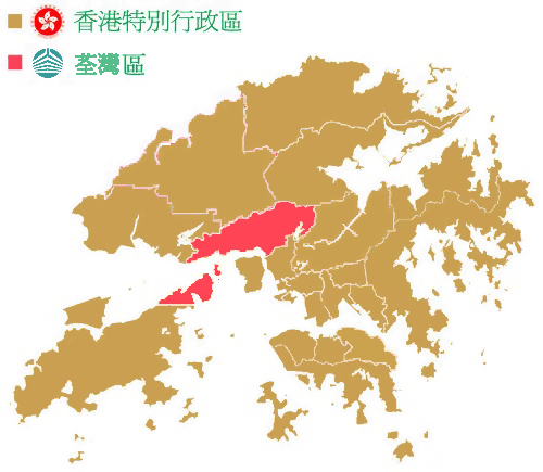
香港特別行政區 荃灣區
Based on Image:Hong Kong District Locator (template map).png
.png)
Licensing[edit]

|
This work is free software; you can redistribute it and/or modify it under the terms of the GNU General Public License as published by the Free Software Foundation; either version 2 of the License, or any later version. This work is distributed in the hope that it will be useful, but without any warranty; without even the implied warranty of merchantability or fitness for a particular purpose. See version 2 and version 3 of the GNU General Public License for more details. |
File history
Click on a date/time to view the file as it appeared at that time.
| Date/Time | Thumbnail | Dimensions | User | Comment | |
|---|---|---|---|---|---|
| current | 08:49, 31 May 2006 | | 500 × 435 (54 KB) | Minghong (talk | contribs) | Correction: Tsuen Wan District covers Ma Wan and Northern part of Lantau Island as well |
| 13:34, 20 May 2006 |  | 500 × 435 (77 KB) | Akdoraemon (talk | contribs) | 香港特別行政區 荃灣區 |
You cannot overwrite this file.
File usage on Commons
There are no pages that use this file.