File:TrÜbPl Putlos und Todendorf.jpg
Jump to navigation
Jump to search
Size of this preview: 800 × 412 pixels. Other resolutions: 320 × 165 pixels | 640 × 330 pixels | 1,024 × 527 pixels | 1,515 × 780 pixels.
Original file (1,515 × 780 pixels, file size: 365 KB, MIME type: image/jpeg)
Captions
Captions
Add a one-line explanation of what this file represents
Summary[edit]
| Description |
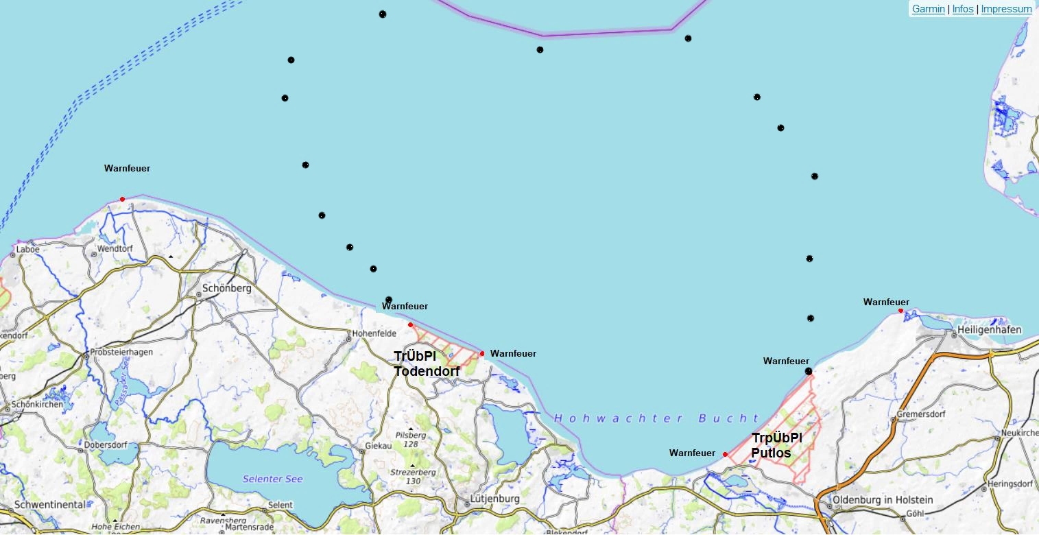
Deutsch: TrÜbPl Putlos und Todendorf, (schwarze Punkte markieren den ca. Standort der aktuellen Warnbojen) |
| Date | |
| Source | https://opentopomap.org/#map=11/54.4025/10.6300 |
| Author | Albert Gr. auf Basis der Kartendaten: © OpenStreetMap-Mitwirkende, SRTM | Kartendarstellung: © OpenTopoMap (CC-BY-SA) |
Licensing[edit]
I, the copyright holder of this work, hereby publish it under the following license:
This file is licensed under the Creative Commons Attribution-Share Alike 4.0 International license.
- You are free:
- to share – to copy, distribute and transmit the work
- to remix – to adapt the work
- Under the following conditions:
- attribution – You must give appropriate credit, provide a link to the license, and indicate if changes were made. You may do so in any reasonable manner, but not in any way that suggests the licensor endorses you or your use.
- share alike – If you remix, transform, or build upon the material, you must distribute your contributions under the same or compatible license as the original.
File history
Click on a date/time to view the file as it appeared at that time.
| Date/Time | Thumbnail | Dimensions | User | Comment | |
|---|---|---|---|---|---|
| current | 13:58, 16 August 2020 | | 1,515 × 780 (365 KB) | Albert Gr. (talk | contribs) | mit Darstellung der Warngebiete Todendorf und Putlos |
| 15:07, 13 August 2020 |  | 1,515 × 780 (132 KB) | Albert Gr. (talk | contribs) | Uploaded own work with UploadWizard |
You cannot overwrite this file.
File usage on Commons
The following page uses this file:
- File:TrpÜbPl Putlos und Todendorf.jpg (file redirect)
File usage on other wikis
The following other wikis use this file:
- Usage on de.wikipedia.org
- Usage on fr.wikipedia.org