File:TowerLFSG.JPG
Jump to navigation
Jump to search

Size of this preview: 800 × 600 pixels. Other resolutions: 320 × 240 pixels | 640 × 480 pixels | 1,024 × 768 pixels | 1,280 × 960 pixels | 2,560 × 1,920 pixels | 3,264 × 2,448 pixels.
Original file (3,264 × 2,448 pixels, file size: 2.09 MB, MIME type: image/jpeg)
Captions
Captions
Add a one-line explanation of what this file represents
Summary
[edit]
| Camera location | | View this and other nearby images on: OpenStreetMap |
|---|
| Description |
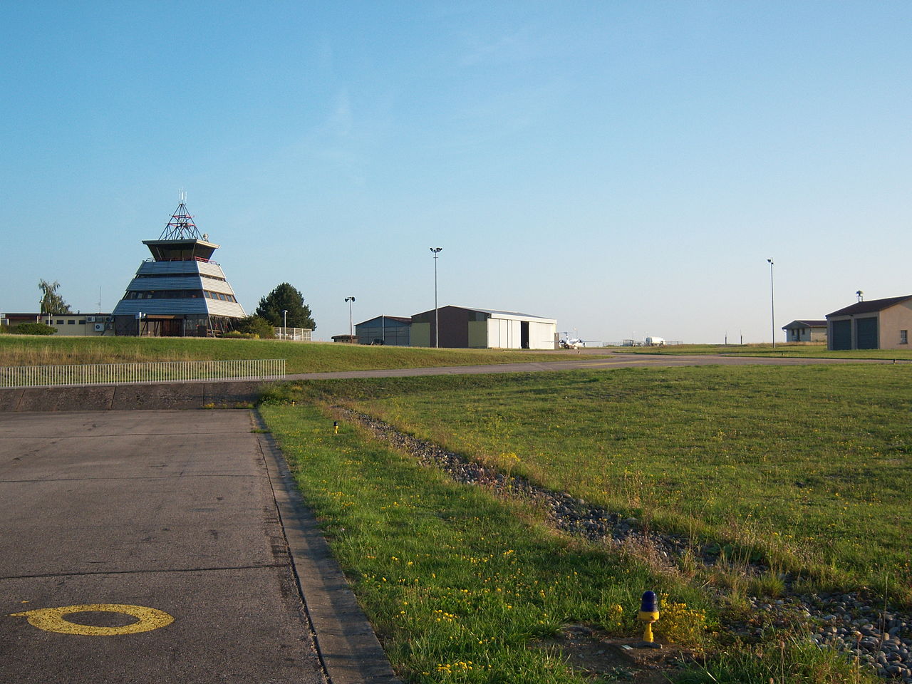
English: Airport tower, Epinal-Mirecourt (LFSG)
Français : Tour d'Aéroport, Epinal-Mirecourt (LFSG) |
| Date | |
| Source | Own work |
| Author | Clementfy |
Licensing
[edit]
| I, the copyright holder of this work, release this work into the public domain. This applies worldwide. In some countries this may not be legally possible; if so: I grant anyone the right to use this work for any purpose, without any conditions, unless such conditions are required by law. |
File history
Click on a date/time to view the file as it appeared at that time.
| Date/Time | Thumbnail | Dimensions | User | Comment | |
|---|---|---|---|---|---|
| current | 21:26, 12 February 2009 | | 3,264 × 2,448 (2.09 MB) | Clementfy (talk | contribs) | {{Information |Description={{en|1=Airport tower, Epinal-Mirecourt (LFSG)}} {{fr|1=Tour d'Aéroport, Epinal-Mirecourt (LFSG)}} |Source=travail personnel (own work) |Author=Clementfy |Date=2008 |Permission= |other_versions= }} <!--{{Imag |
You cannot overwrite this file.
File usage on Commons
The following page uses this file:
File usage on other wikis
The following other wikis use this file:
- Usage on ceb.wikipedia.org
- Usage on de.wikipedia.org
- Usage on fr.wikipedia.org
- Usage on fr.wikivoyage.org
- Usage on hu.wikipedia.org
- Usage on it.wikivoyage.org
- Usage on ro.wikipedia.org
- Usage on tr.wikipedia.org
- Usage on www.wikidata.org