File:Tory Island OpenStreetMaps.svg
Jump to navigation
Jump to search

Size of this PNG preview of this SVG file: 800 × 529 pixels. Other resolutions: 320 × 211 pixels | 640 × 423 pixels | 1,024 × 677 pixels | 1,280 × 846 pixels | 2,560 × 1,692 pixels | 2,963 × 1,958 pixels.
Original file (SVG file, nominally 2,963 × 1,958 pixels, file size: 3.13 MB)
Captions
Captions
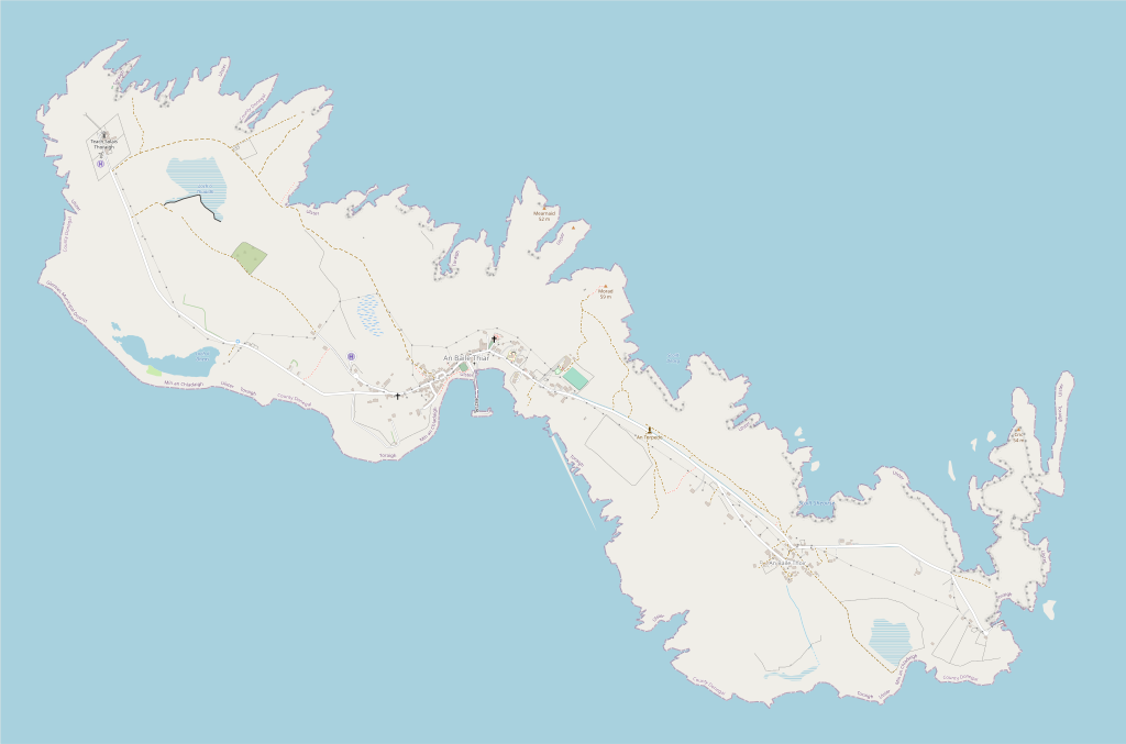
An SVG map of Tory Island, Ireland, using data from OpenStreetMaps
Summary
[edit]
| Description |
English: An SVG map of Tory Island, County Donegal, Ireland, using data extracted from OpenStreetMap and edited using Inkscape |
| Date | |
| Source | Made by User Eroica using data from OpenStreetMap |
| Author | Contributors to OpenStreetMap |
Licensing
[edit]
This file is licensed under the Creative Commons Attribution-Share Alike 2.5 Generic license.
- You are free:
- to share – to copy, distribute and transmit the work
- to remix – to adapt the work
- Under the following conditions:
- attribution – You must give appropriate credit, provide a link to the license, and indicate if changes were made. You may do so in any reasonable manner, but not in any way that suggests the licensor endorses you or your use.
- share alike – If you remix, transform, or build upon the material, you must distribute your contributions under the same or compatible license as the original.
File history
Click on a date/time to view the file as it appeared at that time.
| Date/Time | Thumbnail | Dimensions | User | Comment | |
|---|---|---|---|---|---|
| current | 12:25, 17 October 2022 | | 2,963 × 1,958 (3.13 MB) | Eroica (talk | contribs) | Uploaded a work by Contributors to OpenStreetMaps from Made by User Eroica using data from OpenStreetMaps with UploadWizard |
You cannot overwrite this file.
File usage on Commons
There are no pages that use this file.