File:Toronto Zoo map.png
Jump to navigation
Jump to search
Size of this preview: 800 × 528 pixels. Other resolutions: 320 × 211 pixels | 640 × 422 pixels | 1,009 × 666 pixels.
Original file (1,009 × 666 pixels, file size: 405 KB, MIME type: image/png)
Captions
Captions
Add a one-line explanation of what this file represents
| Description |
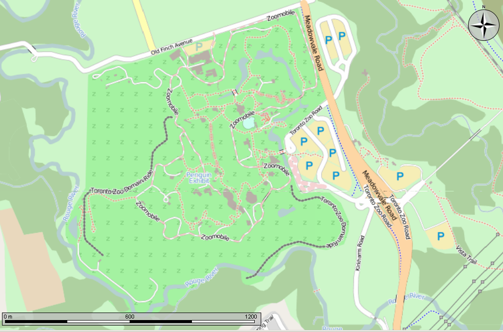
English: Open Street Map made in the Marble program showing the Toronto Zoo. Also shows the location of the former Toronto Zoo Domain ride.
Can also be seen in Open Street Map http://www.openstreetmap.org/?mlat=43.820278&mlon=-79.182778&zoom=15&layers=M at a lower zoom level, for anyone that doesn't believe that I made this in Marble... |
||
| Date | |||
| Source | Own work Made using the Marble program | ||
| Author | Own work | ||
| Permission (Reusing this file) |
This file is licensed under the Creative Commons Attribution-Share Alike 2.5 Canada license.

|

File history
Click on a date/time to view the file as it appeared at that time.
| Date/Time | Thumbnail | Dimensions | User | Comment | |
|---|---|---|---|---|---|
| current | 01:24, 22 July 2013 | | 1,009 × 666 (405 KB) | Oaktree b (talk | contribs) | {{Information |Description ={{en|1=Open Street Map made in the Marble program showing the Toronto Zoo. Also shows the location of the former Toronto Zoo Domain ride. Can also be seen in Open Street Map http://www.openstreetmap.org/?mlat=43.820278&... |
You cannot overwrite this file.
File usage on Commons
The following page uses this file:
File usage on other wikis
The following other wikis use this file:
- Usage on en.wikipedia.org
- Usage on www.wikidata.org