File:Tomma flytebrygger.JPG
Jump to navigation
Jump to search
Size of this preview: 800 × 600 pixels. Other resolutions: 320 × 240 pixels | 640 × 480 pixels | 1,024 × 768 pixels | 1,280 × 960 pixels | 2,048 × 1,536 pixels.
Original file (2,048 × 1,536 pixels, file size: 951 KB, MIME type: image/jpeg)
Captions
Captions
Add a one-line explanation of what this file represents
Summary
[edit]
| Camera location | | View this and other nearby images on: OpenStreetMap |
|---|
| Description |
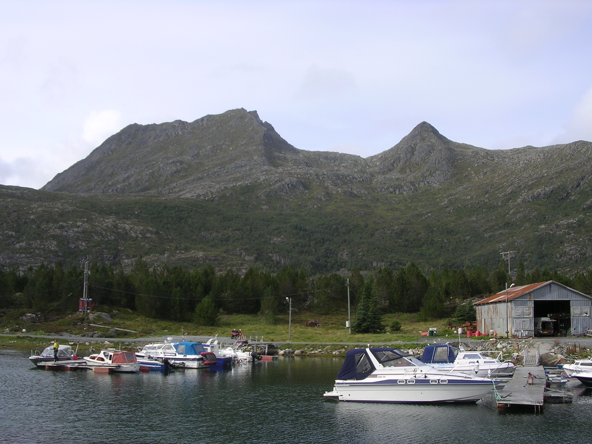
Norsk bokmål: Fra havna ved fergeleiet på Tomma. I bakgrunnen fjellene Breitinden og Litltinden English: From the harbour by the ferrylanding at Tomma. In the background the mountains Breitinden and Litltinden |
| Date | |
| Source | Own work |
| Author | Finnrind |
Licensing
[edit]
| I, the copyright holder of this work, release this work into the public domain. This applies worldwide. In some countries this may not be legally possible; if so: I grant anyone the right to use this work for any purpose, without any conditions, unless such conditions are required by law. |
File history
Click on a date/time to view the file as it appeared at that time.
| Date/Time | Thumbnail | Dimensions | User | Comment | |
|---|---|---|---|---|---|
| current | 18:21, 28 August 2007 | | 2,048 × 1,536 (951 KB) | Finnrind (talk | contribs) | {{Information |Description={{no|Fra havna ved fergeleiet på Tomma. I bakgrunnen fjellene Breitinden og Litltinden}}{{en|From the harbour by the ferrylanding at Tomma. In the background the mountains Breitinden and Litltinden}} |Source=self-made |Date=200 |
You cannot overwrite this file.
File usage on Commons
There are no pages that use this file.