File:Timor oriental carte.png
Jump to navigation
Jump to search
Size of this preview: 653 × 599 pixels. Other resolutions: 261 × 240 pixels | 523 × 480 pixels | 975 × 895 pixels.
Original file (975 × 895 pixels, file size: 466 KB, MIME type: image/png)
Captions
Captions
Add a one-line explanation of what this file represents
Summary[edit]
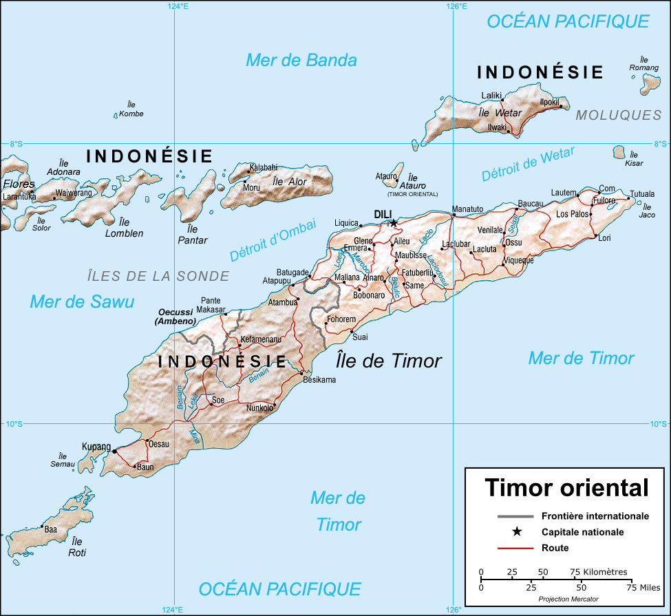
| Description | Map in French of East Timor. |
| Date | |
| Source |
Perry-Castañeda Library (PCL) of the University of Texas at Austin (cleaned and translated). |
| Author | Eric Gaba (Sting) |
| Permission (Reusing this file) |
Public domain, courtesy of the University of Texas Libraries, The University of Texas at Austin. |
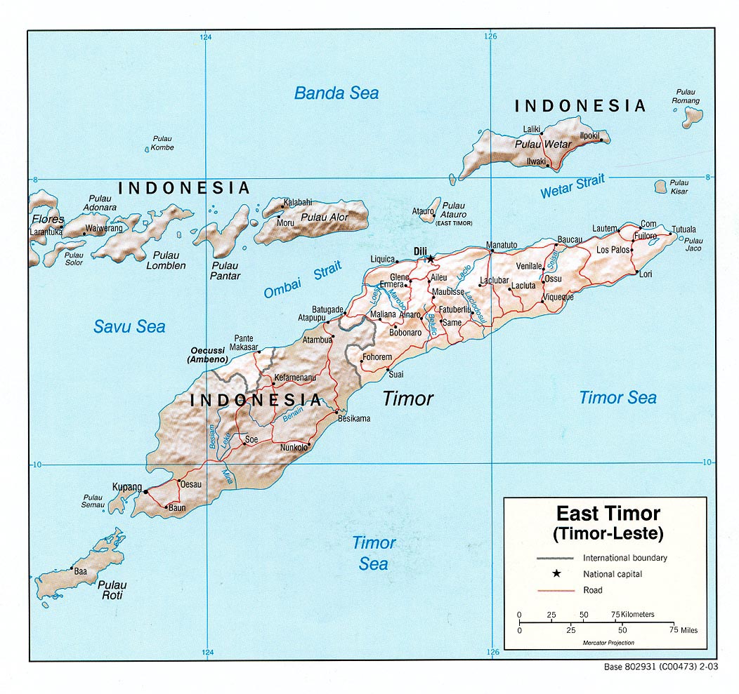
| Other versions | Original English version : Image:CIA-TimorLeste.jpg (without shaded relief). |
Français : * Sujet : Carte en français du Timor oriental ;
- Source : Perry-Castañeda Library (PCL) de l'Université du Texas à Austin (nettoyée et traduite) ;
- Avec l'aimable autorisation de l'University of Texas Libraries, The University of Texas at Austin ;
- Autres versions : Originale anglophone : Image:CIA-TimorLeste.jpg (sans relief) ;
- Auteur : Eric Gaba (fr:Sting) ;
- Date : Septembre 2006.
Licensing[edit]
| This work was previously under Public Domain, or a Free License. It has been digitally enhanced and/or modified. This derivative work has been (or is hereby) released into the public domain by its author, Sting at the French Wikipedia project. This applies worldwide. In some countries this is not legally possible; if so:
|
File history
Click on a date/time to view the file as it appeared at that time.
| Date/Time | Thumbnail | Dimensions | User | Comment | |
|---|---|---|---|---|---|
| current | 06:28, 1 September 2006 | | 975 × 895 (466 KB) | Sting (talk | contribs) | {{Information |Description=Map in French of East Timor. |Source=[http://www.lib.utexas.edu/maps/east_timor.html Perry-Castañeda Library] (PCL) of the [http://www.utexas.edu University of Texas at Austin] (cleaned and translated). |Date=August 2006 |Autho |
You cannot overwrite this file.
File usage on Commons
The following page uses this file:
File usage on other wikis
The following other wikis use this file:
- Usage on fr.wikipedia.org
- Usage on fr.wikinews.org
- Usage on la.wikipedia.org
- Usage on pt.wikipedia.org
- Usage on uk.wikipedia.org