File:The ruined church of St Margaret.jpg
Jump to navigation
Jump to search
Size of this preview: 450 × 600 pixels. Other resolutions: 180 × 240 pixels | 480 × 640 pixels.
Original file (480 × 640 pixels, file size: 54 KB, MIME type: image/jpeg)
Captions
Captions
Add a one-line explanation of what this file represents
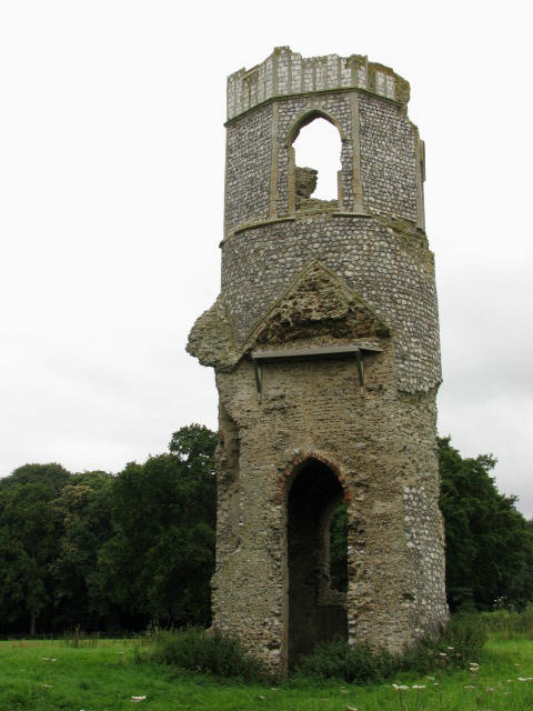
| Description | The remains of Saint margarets church, Wolterton, Norfolk | ||
| Date | |||
| Source | https://www.geograph.org.uk/photo/513336 | ||
| Author | Evelyn Simak | ||
| Permission (Reusing this file) |
This file is licensed under the Creative Commons Attribution-Share Alike 2.0 Generic license. Attribution: Evelyn Simak
|
||
| Attribution (required by the license) | Evelyn Simak / The ruined church of St Margaret / | ||

| Camera location | | View this and other nearby images on: OpenStreetMap |
|---|
_heading:270.00&language=en)
| Object location | | View this and other nearby images on: OpenStreetMap |
|---|
_heading:270.00&language=en)
File history
Click on a date/time to view the file as it appeared at that time.
| Date/Time | Thumbnail | Dimensions | User | Comment | |
|---|---|---|---|---|---|
| current | 12:23, 5 February 2009 | | 480 × 640 (54 KB) | Stavros1 (talk | contribs) | {{Information |Description= The remains of Saint margarets church, Wolterton, Norfolk |Source=http://www.geograph.org.uk/photo/513336 |Date=Thursday, 2 August, 2007 |Author=Evelyn Simak |Permission= {{Geograph|513336|Evelyn Simak }} |other_versions= |
You cannot overwrite this file.
File usage on Commons
There are no pages that use this file.
File usage on other wikis
The following other wikis use this file: