File:The Map of Downtown Area of Puning,China at Jan 2011.jpg
Jump to navigation
Jump to search

Size of this preview: 665 × 599 pixels. Other resolutions: 266 × 240 pixels | 533 × 480 pixels | 852 × 768 pixels | 1,136 × 1,024 pixels | 2,272 × 2,048 pixels | 4,252 × 3,833 pixels.
Original file (4,252 × 3,833 pixels, file size: 2.58 MB, MIME type: image/jpeg)
Captions
Captions
Add a one-line explanation of what this file represents
Summary[edit]
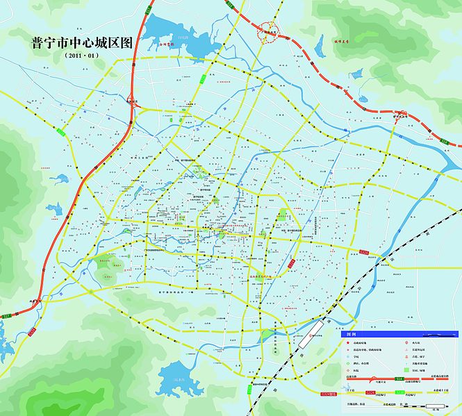
| Description | This is a map of downtown area of Puning , a city located at Guangdong,China.However , vectorgraph the map bases on will be reserved. | ||
| Date | 2009.10-2011.1 | ||
| Source | Own work | ||
| Author | Teo2.01 | ||
| Permission (Reusing this file) |
|
||
| Other versions |
|


File history
Click on a date/time to view the file as it appeared at that time.
| Date/Time | Thumbnail | Dimensions | User | Comment | |
|---|---|---|---|---|---|
| current | 10:04, 15 February 2011 | | 4,252 × 3,833 (2.58 MB) | Túrelio (talk | contribs) | CMYK color coding removed to enable display in IE browsers; uncrompessed image may be too big anyway |
| 04:12, 15 February 2011 |  | 4,252 × 3,833 (4.27 MB) | Teo2.01 (talk | contribs) |
You cannot overwrite this file.
File usage on Commons
The following 2 pages use this file: