File:The Ghanan coast (Open Maps and the IMW).svg
Jump to navigation
Jump to search

Size of this PNG preview of this SVG file: 799 × 349 pixels. Other resolutions: 320 × 140 pixels | 640 × 280 pixels | 1,024 × 447 pixels | 1,280 × 559 pixels | 2,560 × 1,118 pixels | 1,140 × 498 pixels.
Original file (SVG file, nominally 1,140 × 498 pixels, file size: 1.44 MB)
Captions
Captions
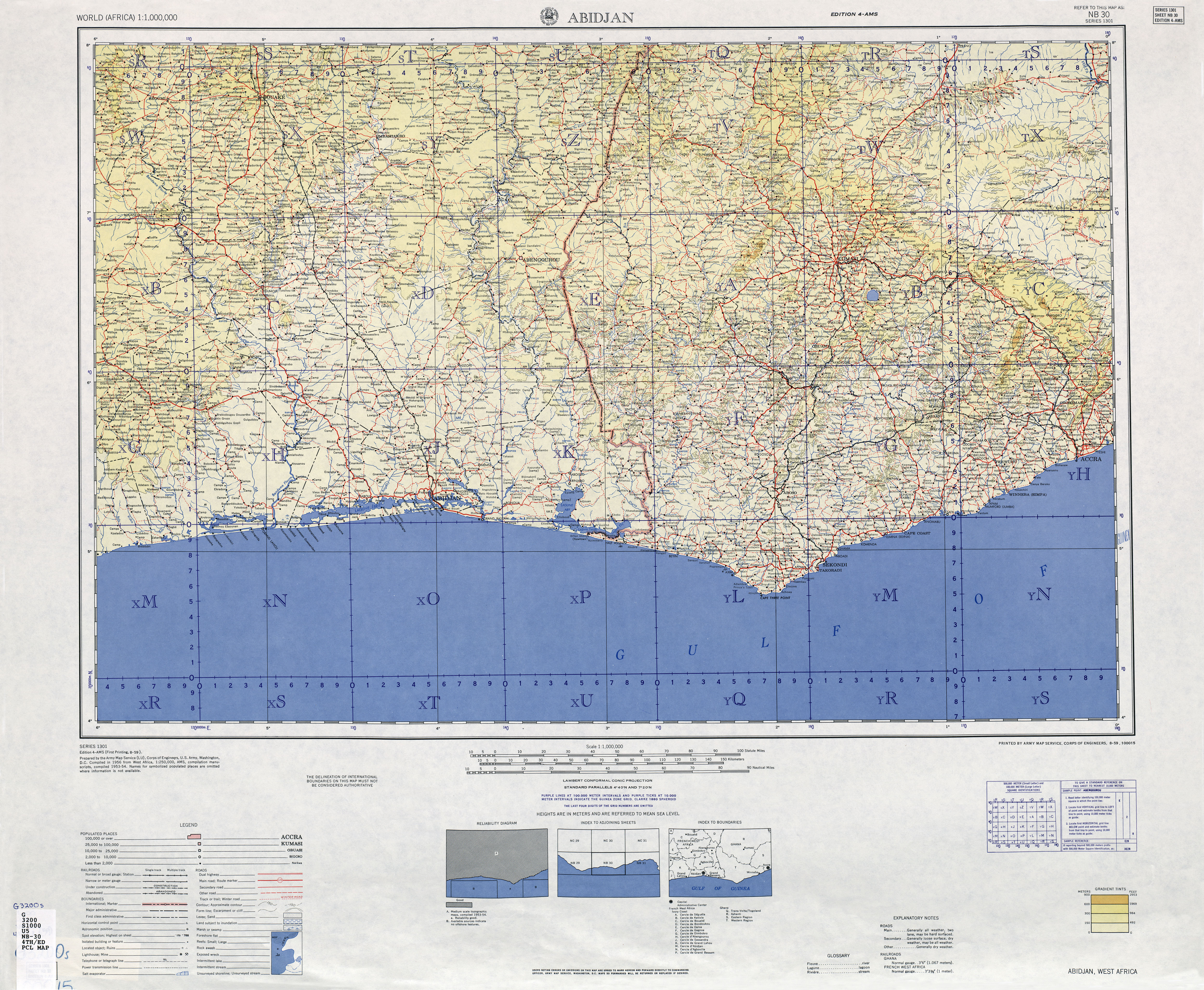
The Ghanan coast (Open Maps and the IMW)
Summary
[edit].svg&action=edit§ion=1)
| Description |
English: The Ghanan coast (Open Maps and the IMW) |
| Date | |
| Source | online - (http://legacy.lib.utexas.edu/maps/imw/txu-oclc-6654394-nb-30-4th-ed.jpg (cropped); https://www.openstreetmap.org/#map=10/5.3426/-1.1508 (cropped) |
| Author | Unknown author |
Licensing
[edit].svg&action=edit§ion=2)
This file is licensed under the Creative Commons Attribution-Share Alike 4.0 International license.
- You are free:
- to share – to copy, distribute and transmit the work
- to remix – to adapt the work
- Under the following conditions:
- attribution – You must give appropriate credit, provide a link to the license, and indicate if changes were made. You may do so in any reasonable manner, but not in any way that suggests the licensor endorses you or your use.
- share alike – If you remix, transform, or build upon the material, you must distribute your contributions under the same or compatible license as the original.
File history
Click on a date/time to view the file as it appeared at that time.
| Date/Time | Thumbnail | Dimensions | User | Comment | |
|---|---|---|---|---|---|
| current | 17:26, 9 February 2021 | | 1,140 × 498 (1.44 MB) | Amitchell125 (talk | contribs) | Uploaded a work by unknown from online - (http://legacy.lib.utexas.edu/maps/imw/txu-oclc-6654394-nb-30-4th-ed.jpg (cropped); https://www.openstreetmap.org/#map=10/5.3426/-1.1508 (cropped) with UploadWizard |
You cannot overwrite this file.
File usage on Commons
There are no pages that use this file.
.svg&oldid=710946665)