File:The Black Boys Inn, Shinfield, Wokingham.jpg
Jump to navigation
Jump to search
No higher resolution available.
The_Black_Boys_Inn,_Shinfield,_Wokingham.jpg (640 × 427 pixels, file size: 82 KB, MIME type: image/jpeg)
Captions
Captions
Add a one-line explanation of what this file represents
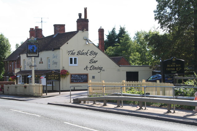
| Description | The Black Boys Inn, Shinfield, Wokingham | ||
| Date | |||
| Source | https://www.geograph.org.uk/photo/918176 | ||
| Author | Rob Wilcox | ||
| Permission (Reusing this file) |
This file is licensed under the Creative Commons Attribution-Share Alike 2.0 Generic license. Attribution: Rob Wilcox
|
||
| Attribution (required by the license) | Rob Wilcox / The Black Boy Pub, Shinfield / | ||

| Camera location | | View this and other nearby images on: OpenStreetMap |
|---|
_heading:202.00&language=en)
| Object location | | View this and other nearby images on: OpenStreetMap |
|---|
_heading:202.00&language=en)
File history
Click on a date/time to view the file as it appeared at that time.
| Date/Time | Thumbnail | Dimensions | User | Comment | |
|---|---|---|---|---|---|
| current | 11:44, 28 March 2009 | | 640 × 427 (82 KB) | Stavros1 (talk | contribs) | {{Information |Description= The Black Boys Inn, Shinfield, Wokingham |Source=http://www.geograph.org.uk/photo/918176 |Date=Saturday, 2 August, 2008 |Author=Rob Wilcox |Permission= {{Geograph|918176|Rob Wilcox}} |other_versions= }} [[Category:Wokingham |
You cannot overwrite this file.
File usage on Commons
There are no pages that use this file.