File:Tembien - Satellite pictures of Tigre.png
Jump to navigation
Jump to search

Size of this preview: 714 × 600 pixels. Other resolutions: 286 × 240 pixels | 572 × 480 pixels | 914 × 768 pixels | 1,219 × 1,024 pixels | 1,774 × 1,490 pixels.
Original file (1,774 × 1,490 pixels, file size: 6.38 MB, MIME type: image/png)
Captions
Captions
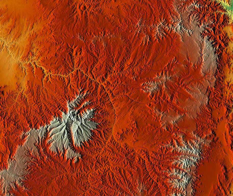
Satellite pictures ofTigray region
Summary[edit]
| Description |
Italiano: Vista satellitare del Tigrai
English: Satellite pictures of Tigray region, and Somali frontier, Ethiopia. |
| Date | |
| Source | https://maps-for-free.com |
| Author | crop by: Ruthven |
| Permission (Reusing this file) |
MFF-maps are released under Creative Commons CC0. You are free to adapt and use the relief maps and relief layer for commercial purposes without attributing the original author or source. Although not required, a link to maps-for-free.com is appreciated. |
Licensing[edit]
| This file is made available under the Creative Commons CC0 1.0 Universal Public Domain Dedication. | |
| The person who associated a work with this deed has dedicated the work to the public domain by waiving all of their rights to the work worldwide under copyright law, including all related and neighboring rights, to the extent allowed by law. You can copy, modify, distribute and perform the work, even for commercial purposes, all without asking permission.
|
This file, which was originally posted to
maps-for-free.com, was reviewed on 25 March 2019 by reviewer Thuresson, who confirmed that it was available there under the stated license on that date.
|
File history
Click on a date/time to view the file as it appeared at that time.
| Date/Time | Thumbnail | Dimensions | User | Comment | |
|---|---|---|---|---|---|
| current | 17:39, 5 February 2019 | | 1,774 × 1,490 (6.38 MB) | Ruthven (talk | contribs) | User created page with UploadWizard |
You cannot overwrite this file.
File usage on Commons
The following page uses this file: