File:Tehran Province location map (with labels).svg
Jump to navigation
Jump to search

Size of this PNG preview of this SVG file: 800 × 418 pixels. Other resolutions: 320 × 167 pixels | 640 × 335 pixels | 1,024 × 535 pixels | 1,280 × 669 pixels | 2,560 × 1,338 pixels | 1,980 × 1,035 pixels.
Original file (SVG file, nominally 1,980 × 1,035 pixels, file size: 324 KB)
Captions
Captions
Add a one-line explanation of what this file represents
Summary[edit]
.svg&action=edit§ion=1)
| Description |
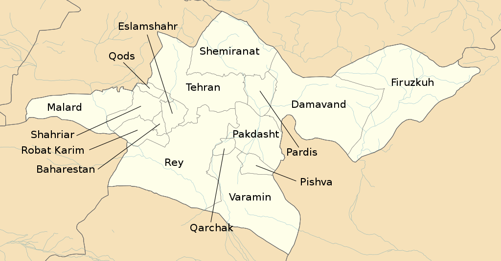
English: Location map of Tehran Province with labels, borders and streets from OpenStreetMap |
| Date | |
| Source | Own work |
| Author | Isochrone and OpenStreetMap contributors |
| SVG development |
Licensing[edit]
.svg&action=edit§ion=2)
This file is licensed under the Creative Commons Attribution-Share Alike Attribution-Share Alike 4.0 International, 3.0 Unported, 2.5 Generic, 2.0 Generic and 1.0 Generic license.
- You are free:
- to share – to copy, distribute and transmit the work
- to remix – to adapt the work
- Under the following conditions:
- attribution – You must give appropriate credit, provide a link to the license, and indicate if changes were made. You may do so in any reasonable manner, but not in any way that suggests the licensor endorses you or your use.
- share alike – If you remix, transform, or build upon the material, you must distribute your contributions under the same or compatible license as the original.
| This work contains information from OpenStreetMap, which is made available under the Open Database License (ODbL).
The ODbL does not require any particular license for maps produced from ODbL data. Prior to 1 August 2020, map tiles produced by the OpenStreetMap Foundation were licensed under the CC-BY-SA-2.0 license. Maps produced by other people may be subject to other licences. |
File history
Click on a date/time to view the file as it appeared at that time.
| Date/Time | Thumbnail | Dimensions | User | Comment | |
|---|---|---|---|---|---|
| current | 13:03, 26 August 2021 | | 1,980 × 1,035 (324 KB) | Isochrone (talk | contribs) | Reverted to version as of 15:29, 20 August 2021 (UTC) |
| 13:01, 26 August 2021 |  | 1,980 × 1,035 (340 KB) | Isochrone (talk | contribs) | File uploaded using svgtranslate tool (https://svgtranslate.toolforge.org/). Added translation for fa. | |
| 12:58, 26 August 2021 |  | 1,980 × 1,035 (324 KB) | Isochrone (talk | contribs) | Reverted to version as of 15:29, 20 August 2021 (UTC) | |
| 12:56, 26 August 2021 |  | 1,980 × 1,035 (333 KB) | Isochrone (talk | contribs) | File uploaded using svgtranslate tool (https://svgtranslate.toolforge.org/). Added translation for en. | |
| 15:29, 20 August 2021 |  | 1,980 × 1,035 (324 KB) | Isochrone (talk | contribs) | =={{int:filedesc}}== {{Information |description={{en|Location map of Tehran Province with labels, borders and streets from OpenStreetMap}} |date=20 August 2021 |source={{own work}} |author={{u|Berrely}} and OpenStreetMap contributors |other fields={{Igen|ArcGIS|+|s=m}} }} =={{int:license-header}}== {{cc-by-sa-all}} {{ODbL OpenStreetMap}} Category:Maps by Berrely Category:Maps of Tehran Province |
You cannot overwrite this file.
File usage on Commons
There are no pages that use this file.
File usage on other wikis
The following other wikis use this file:
- Usage on ckb.wikipedia.org
- Usage on en.wikipedia.org
- Usage on ml.wikipedia.org
- Usage on ur.wikipedia.org
.svg&oldid=860955814)