File:Tegelen in the postal route system of the French First Republic.jpg
Jump to navigation
Jump to search

Size of this preview: 676 × 599 pixels. Other resolutions: 271 × 240 pixels | 542 × 480 pixels | 1,021 × 905 pixels.
Original file (1,021 × 905 pixels, file size: 267 KB, MIME type: image/jpeg)
Captions
Captions
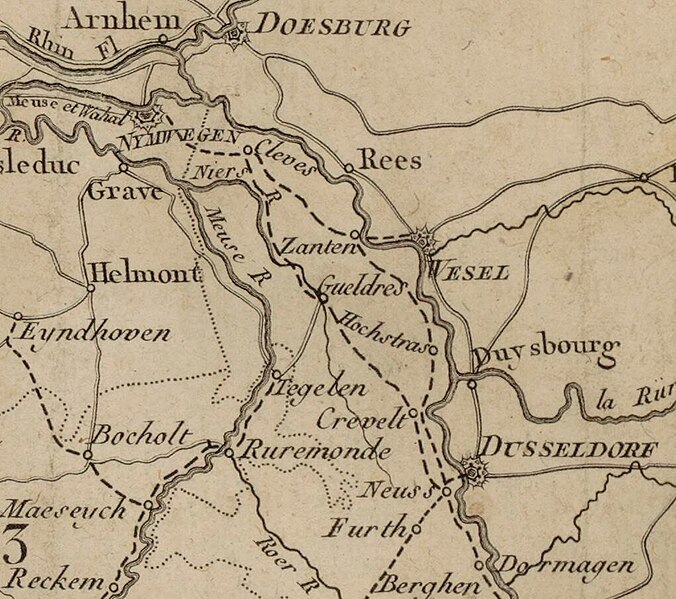
Part of the postal routes map of the First French Republic, published in 1801 (Public Domain).
Summary[edit]
| Description |
English: Part of File:Carte géométrique des routes de postes de la république française... - par Séguin... - btv1b8440733z.jpg |
| Date | |
| Source | https://commons.wikimedia.org/wiki/File:Carte_g%C3%A9om%C3%A9trique_des_routes_de_postes_de_la_r%C3%A9publique_fran%C3%A7aise..._-_par_S%C3%A9guin..._-_btv1b8440733z.jpg |
| Author | Engraved by Pierre François Tardieu (1711-1777), map published in 1801. |
Licensing[edit]
|
This work is in the public domain in its country of origin and other countries and areas where the copyright term is the author's life plus 70 years or fewer. This work is in the public domain in the United States because it was published (or registered with the U.S. Copyright Office) before January 1, 1929. | |
| This file has been identified as being free of known restrictions under copyright law, including all related and neighboring rights. | |
File history
Click on a date/time to view the file as it appeared at that time.
| Date/Time | Thumbnail | Dimensions | User | Comment | |
|---|---|---|---|---|---|
| current | 17:25, 10 December 2023 | | 1,021 × 905 (267 KB) | Sindala (talk | contribs) | Uploaded a work by Engraved by Pierre François Tardieu (1711-1777), map published in 1801. from https://commons.wikimedia.org/wiki/File:Carte_g%C3%A9om%C3%A9trique_des_routes_de_postes_de_la_r%C3%A9publique_fran%C3%A7aise..._-_par_S%C3%A9guin..._-_btv1b8440733z.jpg with UploadWizard |
You cannot overwrite this file.
File usage on Commons
The following page uses this file:
File usage on other wikis
The following other wikis use this file:
- Usage on nl.wikipedia.org