File:T111 Peel Lifeboat Station.jpg
Jump to navigation
Jump to search

Size of this preview: 800 × 600 pixels. Other resolutions: 320 × 240 pixels | 640 × 480 pixels | 1,024 × 768 pixels | 1,280 × 960 pixels | 2,560 × 1,920 pixels | 3,296 × 2,472 pixels.
Original file (3,296 × 2,472 pixels, file size: 1.9 MB, MIME type: image/jpeg)
Captions
Captions
Add a one-line explanation of what this file represents
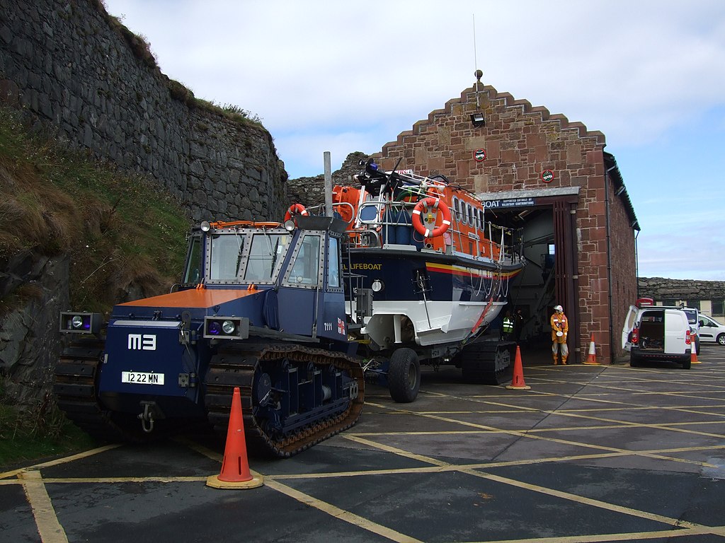
| Description | Peel Lifeboat and Talus MB-H (T111) Launch Tractor | ||
| Date | |||
| Source | https://www.geograph.org.uk/photo/2591390 | ||
| Author | Richard Hoare | ||
| Permission (Reusing this file) |
This file is licensed under the Creative Commons Attribution-Share Alike 2.0 Generic license. Attribution: Richard Hoare
|
||
| Attribution (required by the license) | Richard Hoare / Peel lifeboat and station / | ||

| Camera location | | View this and other nearby images on: OpenStreetMap |
|---|
_heading:337.00&language=en)
| Object location | | View this and other nearby images on: OpenStreetMap |
|---|
_heading:337.00&language=en)
File history
Click on a date/time to view the file as it appeared at that time.
| Date/Time | Thumbnail | Dimensions | User | Comment | |
|---|---|---|---|---|---|
| current | 21:46, 5 November 2017 | | 3,296 × 2,472 (1.9 MB) | Geograph Update Bot (talk | contribs) | Higher-resolution version from Geograph. |
| 01:21, 31 March 2014 |  | 640 × 480 (74 KB) | Cheeseladder (talk | contribs) | {{Information |Description= Peel Lifeboat and Talus MB-H (T111) Launch Tractor |Source= http://www.geograph.org.uk/photo/2591390 |Date= Thursday, 8 September, 2011 |Author= Richard Hoars |Permission= {{Geograph|2591390|Richard Hoars}} |other_versi... |
You cannot overwrite this file.
File usage on Commons
The following 2 pages use this file:
File usage on other wikis
The following other wikis use this file:
- Usage on en.wikipedia.org