File:Stinson Beach banner The beach.jpg
Jump to navigation
Jump to search
Size of this preview: 799 × 114 pixels. Other resolutions: 320 × 46 pixels | 3,263 × 466 pixels.
Original file (3,263 × 466 pixels, file size: 799 KB, MIME type: image/jpeg)
Captions
Captions
Add a one-line explanation of what this file represents
| Description |
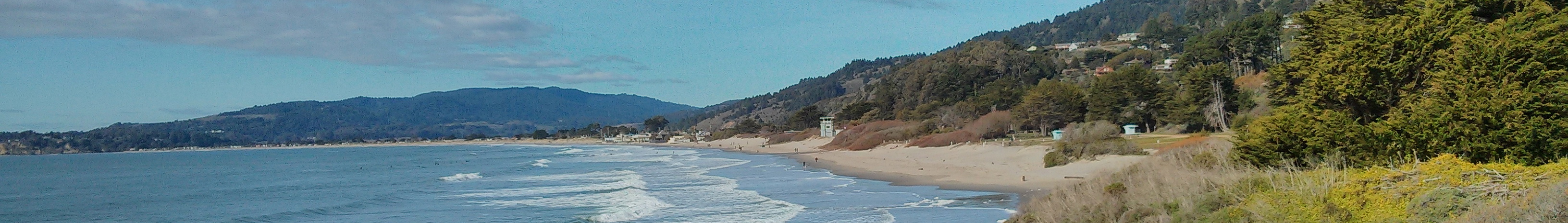
English: Boulders just south of Stinson Beach, California. |
| Date | |
| Source |
This file was derived from: Stinson Beach boulders.jpg |
| Author |
|
| Permission (Reusing this file) |
This file is licensed under the Creative Commons Attribution 2.0 Generic license.
|
| Camera location | | View this and other nearby images on: OpenStreetMap |
|---|
File history
Click on a date/time to view the file as it appeared at that time.
| Date/Time | Thumbnail | Dimensions | User | Comment | |
|---|---|---|---|---|---|
| current | 00:20, 10 September 2014 | 3,263 × 466 (799 KB) | Mx. Granger (talk | contribs) | {{Information |Description ={{en|1=Boulders just south of Stinson Beach, California.}} |Source ={{derived from|Stinson Beach boulders.jpg}} |Author =*Original: [http://www.flickr.com/people/19714819@N00 Mark Doliner] from Sunnyvale,... |
You cannot overwrite this file.
File usage on Commons
There are no pages that use this file.
File usage on other wikis
The following other wikis use this file:
- Usage on en.wikivoyage.org
- Usage on www.wikidata.org