File:State highway system of Indiana, 1936 - DPLA - 8fc239362b494052532a542633d51a9c.jpg
Jump to navigation
Jump to search

Size of this preview: 386 × 598 pixels. Other resolutions: 155 × 240 pixels | 309 × 480 pixels | 495 × 768 pixels | 660 × 1,024 pixels | 1,321 × 2,048 pixels | 5,804 × 8,999 pixels.
Original file (5,804 × 8,999 pixels, file size: 8.86 MB, MIME type: image/jpeg)
Captions
Captions
Add a one-line explanation of what this file represents
Summary[edit]
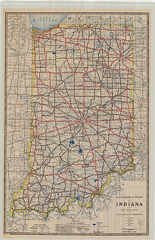
| State highway system of Indiana, 1936
( |
|||||||||||||||||||||
|---|---|---|---|---|---|---|---|---|---|---|---|---|---|---|---|---|---|---|---|---|---|
| Creator | Indiana State Highway Commission | ||||||||||||||||||||
| Title |
State highway system of Indiana, 1936 |
||||||||||||||||||||
| Description |
Indiana highway map showing major roads in Indiana for 1936. |
||||||||||||||||||||
| Date | 1936 | ||||||||||||||||||||
| Collection |
|
||||||||||||||||||||
| Source/Photographer |
|
||||||||||||||||||||
| Permission (Reusing this file) |
|
||||||||||||||||||||
| Standardized rights statement |
|
||||||||||||||||||||


File history
Click on a date/time to view the file as it appeared at that time.
| Date/Time | Thumbnail | Dimensions | User | Comment | |
|---|---|---|---|---|---|
| current | 01:08, 19 May 2020 | | 5,804 × 8,999 (8.86 MB) | DPLA bot (talk | contribs) | Uploading DPLA ID 8fc239362b494052532a542633d51a9c |
You cannot overwrite this file.
File usage on Commons
The following 2 pages use this file:
File usage on other wikis
The following other wikis use this file:
- Usage on en.wikipedia.org