File:St Luke's, Bromley Common BR2 - geograph.org.uk - 47193.jpg
Jump to navigation
Jump to search
Size of this preview: 461 × 600 pixels. Other resolutions: 184 × 240 pixels | 492 × 640 pixels.
Original file (492 × 640 pixels, file size: 71 KB, MIME type: image/jpeg)
Captions
Captions
Add a one-line explanation of what this file represents
Summary[edit]
| Description |
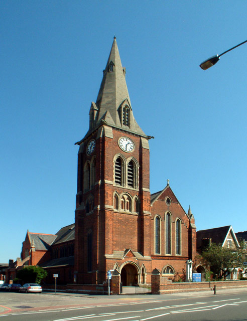
English: St Luke's parish church, Bromley Common, southeast London (formerly Kent), seen from the west. Built 1886–90 The spire and top of the tower were added in 1910. |
| Date | |
| Source | From geograph.org.uk |
| Author | Philip Talmage |
| Attribution (required by the license) | Philip Talmage / St Luke's, Bromley Common BR2 / |
| Camera location | | View this and other nearby images on: OpenStreetMap |
|---|
_heading:67.00&language=en)
| Object location | | View this and other nearby images on: OpenStreetMap |
|---|
_heading:67.00&language=en)
Licensing[edit]

|
This image was taken from the Geograph project collection. See this photograph's page on the Geograph website for the photographer's contact details. The copyright on this image is owned by Philip Talmage and is licensed for reuse under the Creative Commons Attribution-ShareAlike 2.0 license.
|
This file is licensed under the Creative Commons Attribution-Share Alike 2.0 Generic license.
Attribution: Philip Talmage
- You are free:
- to share – to copy, distribute and transmit the work
- to remix – to adapt the work
- Under the following conditions:
- attribution – You must give appropriate credit, provide a link to the license, and indicate if changes were made. You may do so in any reasonable manner, but not in any way that suggests the licensor endorses you or your use.
- share alike – If you remix, transform, or build upon the material, you must distribute your contributions under the same or compatible license as the original.
File history
Click on a date/time to view the file as it appeared at that time.
| Date/Time | Thumbnail | Dimensions | User | Comment | |
|---|---|---|---|---|---|
| current | 18:47, 30 January 2010 | | 492 × 640 (71 KB) | GeographBot (talk | contribs) | == {{int:filedesc}} == {{Information |description={{en|1=St Luke's, Bromley Common BR2. Opening in 1887 to serve the fast growing community between the old town and that at the southern end of Bromley Common, and to relieve the pressure on Holy Trinity Ch |
You cannot overwrite this file.
File usage on Commons
The following page uses this file:
File usage on other wikis
The following other wikis use this file:
- Usage on www.wikidata.org
Metadata
Categories:
- 19th-century brick church towers in England
- 2005 in the London Borough of Bromley
- Abat-sons in London
- August 2005 in London
- Brick buttresses in London
- Broach spires in London
- Churches in London photographed in 2005
- Church clocks in London
- Church spires in London
- Church windows in London
- Clocks in the London Borough of Bromley
- Gothic Revival church towers in London
- Gothic Revival spires in London
- Gothic Revival windows in England
- St Luke's Church, Bromley Common
- Spires in the London Borough of Bromley
- Time 01:30
- Trifora in England