File:StJohnsCatholicSchoolfortheDeaf.jpg
Jump to navigation
Jump to search
No higher resolution available.
StJohnsCatholicSchoolfortheDeaf.jpg (640 × 505 pixels, file size: 193 KB, MIME type: image/jpeg)
Captions
Captions
Add a one-line explanation of what this file represents
| Description |
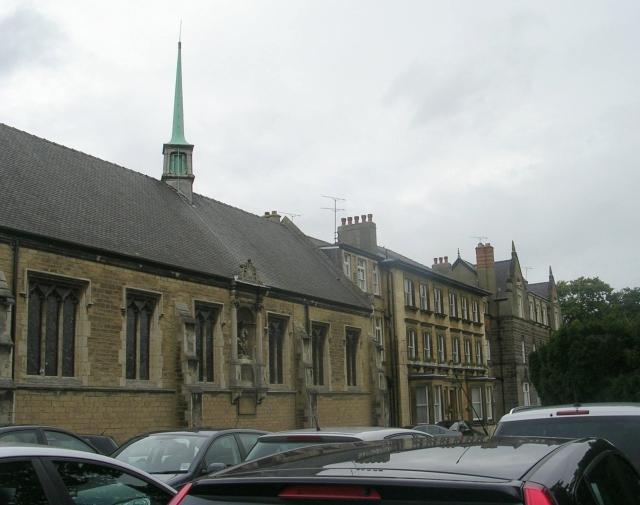
English: St John's Catholic School for the Deaf, Boston Spa, near Wetherby, Leeds, West Yorkshire, England - image of school buildings, with cars parked in foreground |
||
| Date | |||
| Source | https://www.geograph.org.uk/photo/958640 | ||
| Author | Betty Longbottom | ||
| Permission (Reusing this file) |
This file is licensed under the Creative Commons Attribution-Share Alike 2.0 Generic license. Attribution: Betty Longbottom
|
||
| Attribution (required by the license) | Betty Longbottom / St John's Catholic School for the Deaf - Church Street, Boston Spa / | ||

| Camera location | | View this and other nearby images on: OpenStreetMap |
|---|
_heading:337.00&language=en)
| Object location | | View this and other nearby images on: OpenStreetMap |
|---|
_heading:337.00&language=en)
File history
Click on a date/time to view the file as it appeared at that time.
| Date/Time | Thumbnail | Dimensions | User | Comment | |
|---|---|---|---|---|---|
| current | 14:09, 24 April 2009 | | 640 × 505 (193 KB) | PamD (talk | contribs) | {{Information |Description={{en|1=St John's Catholic School for the Deaf, Boston Spa, near Wetherby, Leeds, West Yorkshire, England - image of school buildings, with cars parked in foreground}} |Source=http://www.geograph.org.uk/photo/958640 |Author=Betty |
You cannot overwrite this file.
File usage on Commons
The following page uses this file:
File usage on other wikis
The following other wikis use this file:
- Usage on en.wikipedia.org
- Usage on www.wikidata.org