File:Sri Lanka districts.png
Jump to navigation
Jump to search
Size of this preview: 800 × 550 pixels. Other resolutions: 320 × 220 pixels | 640 × 440 pixels | 1,024 × 703 pixels | 1,281 × 880 pixels.
Original file (1,281 × 880 pixels, file size: 16 KB, MIME type: image/png)
Captions
Captions
Add a one-line explanation of what this file represents
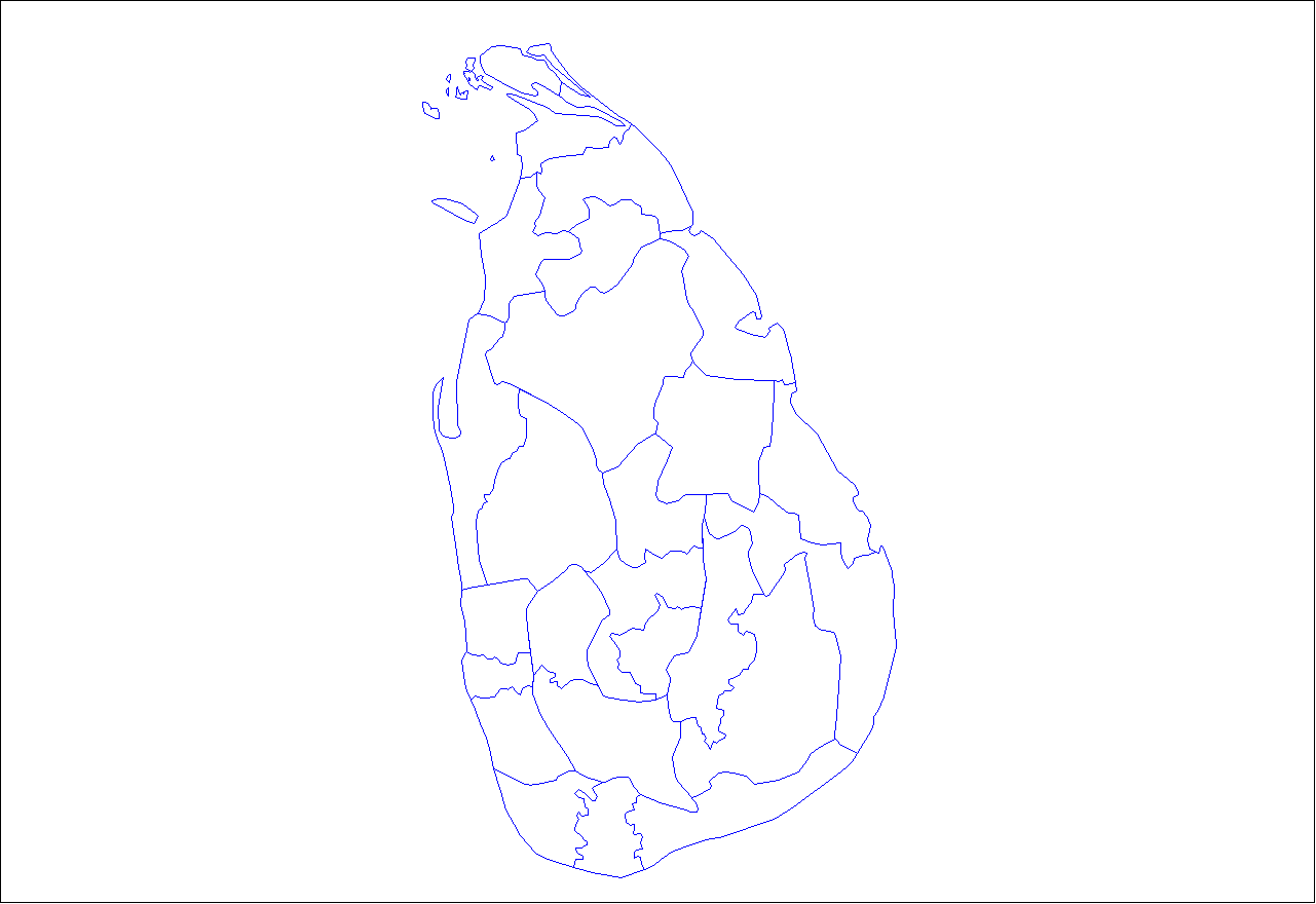
| Description | Map of the districts of Sri Lanka. | ||
| Date | |||
| Source | Created by Rarelibra 22:03, 18 September 2006 (UTC) for public domain use, using MapInfo Professional v8.5 and various mapping resources. | ||
| Author | Rarelibra | ||
| Permission (Reusing this file) |
|
Original upload log
[edit]
Transferred from en.wikipedia to Commons using FtCG.
The original description page was here. All following user names refer to en.wikipedia.
| Date/Time | Dimensions | User | Comment |
|---|---|---|---|
| 22:03, 18 September 2006 | 1,281 × 880 (16,008 bytes) | w:en:Rarelibra (talk | contribs) | (Map of the districts of Sri Lanka. Created by ~~~~ for public domain use, using MapInfo Professional v8.5 and various mapping resources.) |
File history
Click on a date/time to view the file as it appeared at that time.
| Date/Time | Thumbnail | Dimensions | User | Comment | |
|---|---|---|---|---|---|
| current | 02:02, 31 December 2011 | | 1,281 × 880 (16 KB) | Alpha Quadrant (talk | contribs) | Transferred from en.wikipedia: see original upload log above |
You cannot overwrite this file.
File usage on Commons
There are no pages that use this file.
File usage on other wikis
The following other wikis use this file:
- Usage on en.wikipedia.org