File:Southeastct.png
Jump to navigation
Jump to search
No higher resolution available.
Southeastct.png (539 × 394 pixels, file size: 15 KB, MIME type: image/png)
Captions
Captions
Add a one-line explanation of what this file represents
Summary[edit]
| Description |
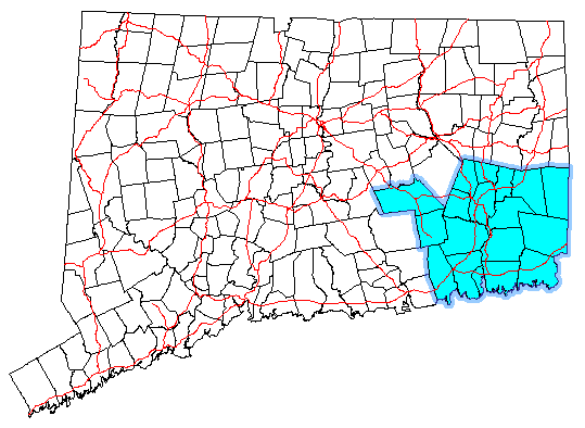
English: Map of Connecticut with the “Southeastern Conn” planning region highlighted (Office of Policy and Management) |
| Date | 13 March 2007 (original upload date) |
| Source |
Own work Transferred from en.wikipedia |
| Author | Polaron at en.wikipedia |
Licensing[edit]
| |
This work has been released into the public domain by its author, Polaron, at the English Wikipedia project. This applies worldwide. In case this is not legally possible: |
Original upload log[edit]
The original description page was here. All following user names refer to en.wikipedia.
- 2007-03-13 01:40 Polaron 539×394 (14940 bytes)
File history
Click on a date/time to view the file as it appeared at that time.
| Date/Time | Thumbnail | Dimensions | User | Comment | |
|---|---|---|---|---|---|
| current | 11:29, 30 December 2011 | | 539 × 394 (15 KB) | MGA73bot2 (talk | contribs) | {{BotMoveToCommons|en.wikipedia|year={{subst:CURRENTYEAR}}|month={{subst:CURRENTMONTHNAME}}|day={{subst:CURRENTDAY}}}} == {{int:filedesc}} == {{Information |description={{en|1=}} |date={{Date|2007|3|13}} (original upload date) |source={{Own}}<BR />Transf |
You cannot overwrite this file.
File usage on Commons
There are no pages that use this file.
File usage on other wikis
The following other wikis use this file:
- Usage on es.wikipedia.org
- Usage on sv.wikipedia.org