File:SatVogelfluglinie.jpg
Jump to navigation
Jump to search

Size of this preview: 800 × 590 pixels. Other resolutions: 320 × 236 pixels | 640 × 472 pixels | 1,024 × 755 pixels | 1,280 × 944 pixels.
Original file (1,280 × 944 pixels, file size: 219 KB, MIME type: image/jpeg)
Captions
Captions
Add a one-line explanation of what this file represents
| Description |
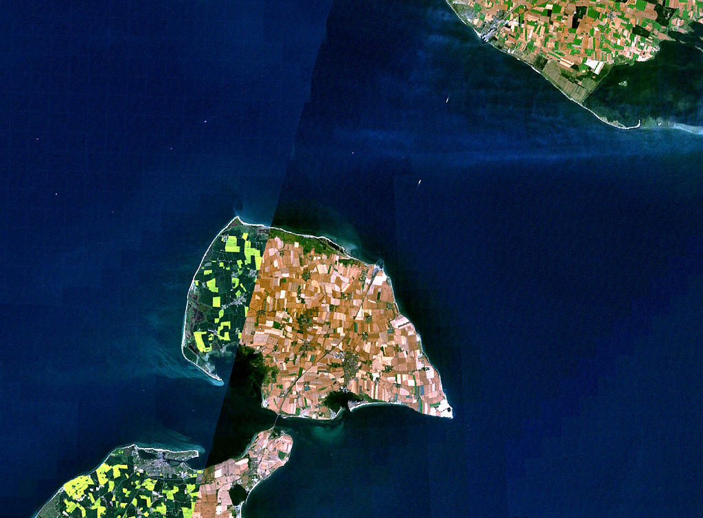
Deutsch: Satellitenaufnahme Vogelfluglinie Fehmarn - Dänemark (Puttgarden - Rødby)
English: Satellite images of the island of Fehmarn, Germany showing ferry line "Vogelfluglinie" (Puttgarden - Rødby) |
| Source | from Nasa World Wind - Free Satellite Image |
| Author | Nasa |
| This image is in the public domain because it is a screenshot from NASA’s globe software World Wind using a public domain layer, such as Blue Marble, MODIS, Landsat, SRTM, USGS or GLOBE.
|
 |
File history
Click on a date/time to view the file as it appeared at that time.
| Date/Time | Thumbnail | Dimensions | User | Comment | |
|---|---|---|---|---|---|
| current | 09:55, 30 December 2005 | | 1,280 × 944 (219 KB) | Godewind (talk | contribs) | * Satellitenaufnahme Vogelfluglinie Fehmarn - Dänemark (Puttgarden - Rødby) * from Nasa World Wind - Free Satellite Image {{PD-USGov}} Category:Satellite images of the islands |
You cannot overwrite this file.
File usage on Commons
There are no pages that use this file.
File usage on other wikis
The following other wikis use this file:
- Usage on da.wikipedia.org
- Usage on de.wikipedia.org