File:Saint Casimir 030.jpg
Jump to navigation
Jump to search
Size of this preview: 800 × 533 pixels. Other resolutions: 320 × 213 pixels | 640 × 427 pixels | 1,024 × 683 pixels | 1,280 × 853 pixels | 2,560 × 1,707 pixels | 3,456 × 2,304 pixels.
Original file (3,456 × 2,304 pixels, file size: 4.71 MB, MIME type: image/jpeg)
Captions
Captions
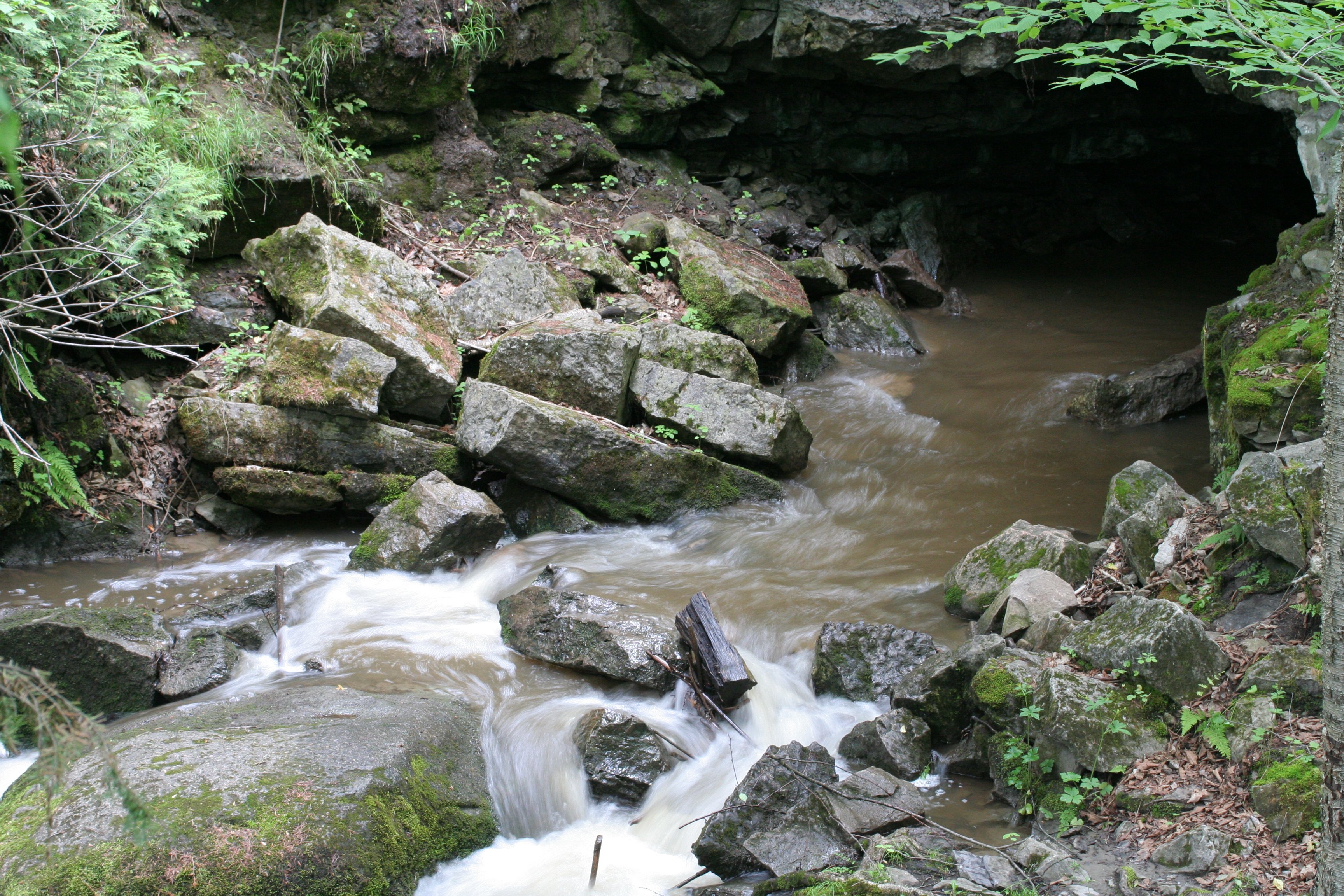
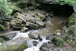
Small tributary of the Sainte-Anne River at its exit from the cave of Trou du diable, a few meters from its mouth
Summary
[edit]
| Description |
English: 46° 40' 35.9" N - 072° 05' 42.3" W, Capitale Nationale, Portneuf Regional County Municipality, Saint-Casimir, route des Lefebvre, Saturday, June 5, 2010.
Français : 46° 40' 35.9" N - 072° 05' 42.3" O, Capitale Nationale, MRC Portneuf, Saint-Casimir, route des Lefebvre, le samedi 5 juin 2010. |
| Date | |
| Source | Own work |
| Author | Nichole Ouellette |
- More infos/photos, same author: ouellette001.com
- Québec en photos Saint-Casimir
- Cave Trou du diable
- About Quebec in photos
- Home ouellette001.com
Licensing
[edit]
I, the copyright holder of this work, hereby publish it under the following license:
This file is licensed under the Creative Commons Attribution-Share Alike 4.0 International license.
- You are free:
- to share – to copy, distribute and transmit the work
- to remix – to adapt the work
- Under the following conditions:
- attribution – You must give appropriate credit, provide a link to the license, and indicate if changes were made. You may do so in any reasonable manner, but not in any way that suggests the licensor endorses you or your use.
- share alike – If you remix, transform, or build upon the material, you must distribute your contributions under the same or compatible license as the original.
File history
Click on a date/time to view the file as it appeared at that time.
| Date/Time | Thumbnail | Dimensions | User | Comment | |
|---|---|---|---|---|---|
| current | 10:41, 6 September 2023 | | 3,456 × 2,304 (4.71 MB) | Nichole Ouellette (talk | contribs) | Uploaded own work with UploadWizard |
You cannot overwrite this file.
File usage on Commons
There are no pages that use this file.
File usage on other wikis
The following other wikis use this file:
- Usage on en.wikipedia.org
- Usage on fr.wikipedia.org