File:Rossendale UK ward map 2010 (blank).svg
Jump to navigation
Jump to search

Size of this PNG preview of this SVG file: 636 × 600 pixels. Other resolutions: 255 × 240 pixels | 509 × 480 pixels | 814 × 768 pixels | 1,086 × 1,024 pixels | 2,172 × 2,048 pixels | 1,385 × 1,306 pixels.
Original file (SVG file, nominally 1,385 × 1,306 pixels, file size: 278 KB)
Captions
Captions
Add a one-line explanation of what this file represents
| Description |
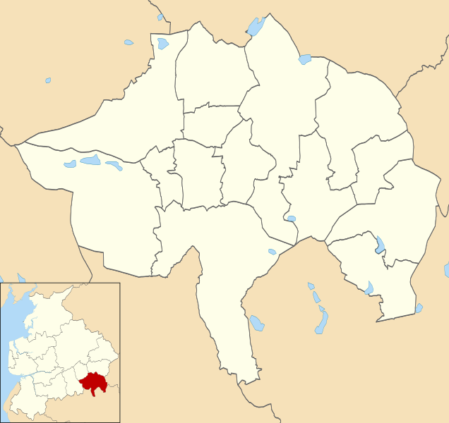
Map of Rossendale, Lancashire, UK with electoral wards shown. Equirectangular map projection on WGS 84 datum, with N/S stretched 165% Geographic limits:
|
| Date | |
| Source |
|
| Author | Nilfanion, created using Ordnance Survey data |
| Permission (Reusing this file) |
This file is licensed under the Creative Commons Attribution-Share Alike 3.0 Unported license. Attribution: Contains Ordnance Survey data © Crown copyright and database right
|
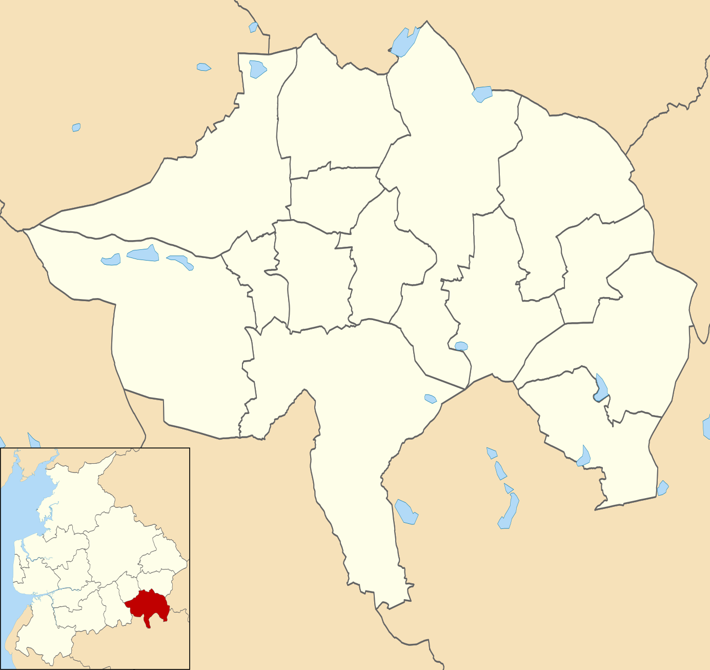
| Other versions | Derivative works of this file: Rossendale UK local election 2012 map.svg |
File history
Click on a date/time to view the file as it appeared at that time.
| Date/Time | Thumbnail | Dimensions | User | Comment | |
|---|---|---|---|---|---|
| current | 22:49, 24 April 2011 | | 1,385 × 1,306 (278 KB) | Nilfanion (talk | contribs) | {{Information |Description=Map of Rossendale, Lancashire, UK with electoral wards shown. Equirectangular map projection on WGS 84 datum, with N/S stretched 165% Geographic limits: *West: 2.42W *East: 2.14W *North: 53.76N *South: 53.60N |Source=[[w:Ordna |
You cannot overwrite this file.
File usage on Commons
The following 6 pages use this file:
File usage on other wikis
The following other wikis use this file:
- Usage on en.wikipedia.org
.svg&oldid=484346508)