File:Rodrigues Island location map.svg
Jump to navigation
Jump to search

Size of this PNG preview of this SVG file: 637 × 600 pixels. Other resolutions: 255 × 240 pixels | 510 × 480 pixels | 816 × 768 pixels | 1,088 × 1,024 pixels | 2,176 × 2,048 pixels | 1,700 × 1,600 pixels.
Original file (SVG file, nominally 1,700 × 1,600 pixels, file size: 81 KB)
Captions
Captions
Add a one-line explanation of what this file represents
Summary
[edit]
| Description |
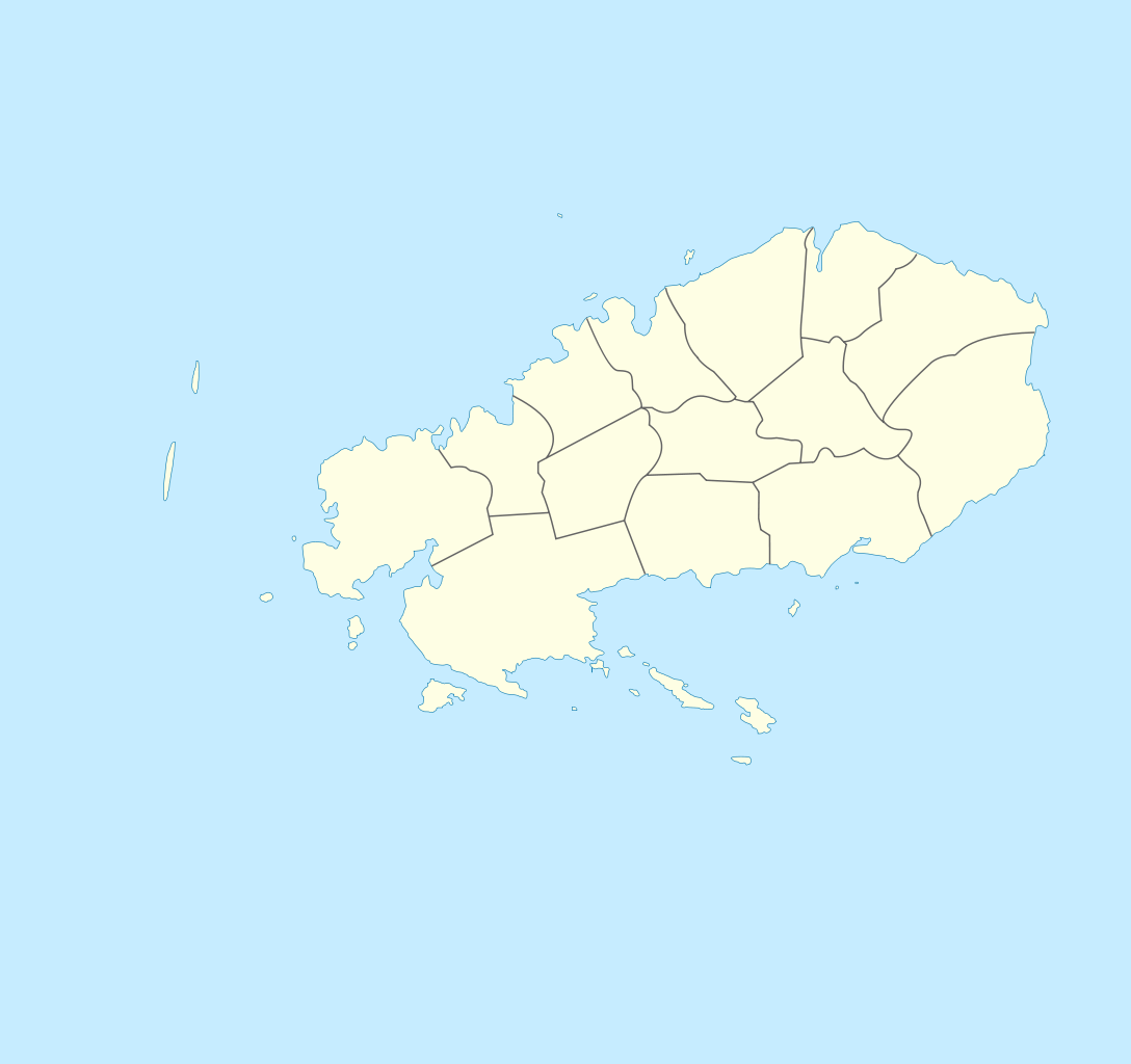
Deutsch: Zonenkarte der Insel Rodrigues English: Topographic map in French of Rodrigues Island, Mauritius Scale : 1:372,000 (accuracy : about 93 m) ; Printing size : 7.79 x 7.33 cm ; Note : The background map is a raster image embedded in the SVG file. Français : Carte de localisation de l'île de Rodrigues, Maurice ; UTM projection ; WGS84 datum ; shaded relief (composite image of N-W, W and N lightning positions) ;Échelle : 1:372 000 (précision : environ 93 m) ; Taille d'impression : 7,79 x 7,33 cm ; Note : Le fond de carte est une image bitmap embarquée dans le fichier SVG. Geographic limits of the map: *West : 63° 15' 34.66" E *East : 63° 31' 14.68" E *North : 19° 37' 09.97" S *South : 19° 51' 02.05" S |
| Date | (UTC) |
| Source | |
| Author |
|
| This is a retouched picture, which means that it has been digitally altered from its original version. Modifications: locator map style. The original can be viewed here: Rodrigues Island topographic-zones map-fr.svg:
|
Licensing
[edit]
I, the copyright holder of this work, hereby publish it under the following license:
This file is licensed under the Creative Commons Attribution-Share Alike 3.0 Unported license.
- You are free:
- to share – to copy, distribute and transmit the work
- to remix – to adapt the work
- Under the following conditions:
- attribution – You must give appropriate credit, provide a link to the license, and indicate if changes were made. You may do so in any reasonable manner, but not in any way that suggests the licensor endorses you or your use.
- share alike – If you remix, transform, or build upon the material, you must distribute your contributions under the same or compatible license as the original.
Original upload log
[edit]
This image is a derivative work of the following images:
- File:Rodrigues_Island_topographic-zones_map-fr.svg licensed with Cc-by-sa-3.0
- 2010-08-11T08:27:58Z M0tty 1700x1600 (993021 Bytes) {{Information |Description={{de|1=Zonenkarte der Insel Rodrigues}} {{en|Topographic map in French of [[:en:Rodrigues (island)|Rodrigues Island]], [[:en:Mauritius|Mauritius]]Scale : 1:372,000 (accuracy : about 93 m) ; Printing
Uploaded with derivativeFX
File history
Click on a date/time to view the file as it appeared at that time.
| Date/Time | Thumbnail | Dimensions | User | Comment | |
|---|---|---|---|---|---|
| current | 15:06, 27 December 2011 | | 1,700 × 1,600 (81 KB) | Xfigpower (talk | contribs) | == {{int:filedesc}} == {{Information |Description={{de|1=Zonenkarte der Insel Rodrigues}} {{en|Topographic map in French of Rodrigues Island, Mauritius<br/>Scale : 1:372,000 (accuracy : about 93 m) ; Printing s |
You cannot overwrite this file.
File usage on Commons
The following 3 pages use this file:
.svg)
_mk.svg)
File usage on other wikis
The following other wikis use this file:
- Usage on eo.wikipedia.org
- Usage on fr.wikipedia.org
- Usage on he.wikipedia.org