File:River Irk, Chadderton.jpg
Jump to navigation
Jump to search
No higher resolution available.
River_Irk,_Chadderton.jpg (640 × 480 pixels, file size: 238 KB, MIME type: image/jpeg)
Captions
Captions
Add a one-line explanation of what this file represents
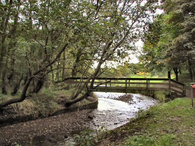
| Description | Footbridge over the River Irk, in Chadderton, Greater Manchester, England. | ||
| Date | |||
| Source | geograph.org.uk | ||
| Author | Roger May | ||
| Permission (Reusing this file) |
This file is licensed under the Creative Commons Attribution-Share Alike 2.0 Generic license. Attribution: Roger May
|

| Camera location | | View this and other nearby images on: OpenStreetMap |
|---|
_&language=en)
| Object location | | View this and other nearby images on: OpenStreetMap |
|---|
_&language=en)
File history
Click on a date/time to view the file as it appeared at that time.
| Date/Time | Thumbnail | Dimensions | User | Comment | |
|---|---|---|---|---|---|
| current | 16:36, 5 January 2009 | | 640 × 480 (238 KB) | Jza84 (talk | contribs) | {{Information |Description=Footbridge over the River Irk, in Chadderton, Greater Manchester, England. |Source=[http://www.geograph.org.uk/photo/63635 geograph.org.uk] |Date=10 October, 2005 |Author=Roger May |Permission={{geograph|63635|Roger May}} |ot |
You cannot overwrite this file.
File usage on Commons
The following page uses this file:
File usage on other wikis
The following other wikis use this file:
- Usage on azb.wikipedia.org
- Usage on en.wikipedia.org
- Usage on fa.wikipedia.org
- Usage on sv.wikipedia.org
- Usage on www.wikidata.org