File:Rimberg Grenzsteine Hessen-Kassel Hessen-Darmstadt OSMmap.jpg
Jump to navigation
Jump to search
Size of this preview: 800 × 450 pixels. Other resolutions: 320 × 180 pixels | 640 × 360 pixels | 1,024 × 576 pixels | 1,280 × 720 pixels | 1,920 × 1,080 pixels.
Original file (1,920 × 1,080 pixels, file size: 207 KB, MIME type: image/jpeg)
Captions
Captions
Add a one-line explanation of what this file represents
Summary
[edit]
| Description |
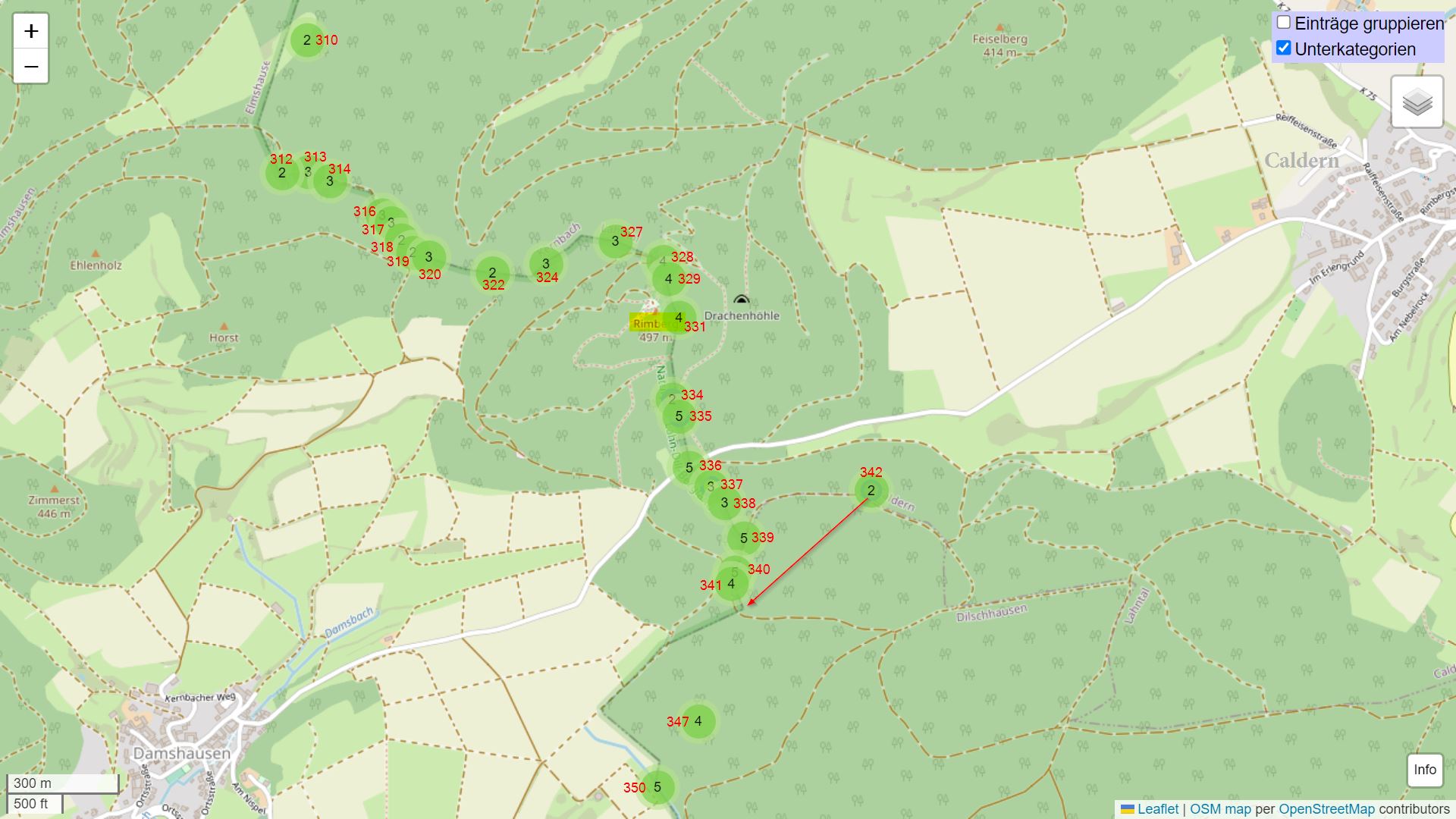
Deutsch: Karte der historischen Grenzsteine an der Grenze zwischen den ehemaligen Landgrafschaften Hessen-Cassel und Hessen-Darmstadt beim Rimberg. Die Grenzsteinnummern sind rot dargestellt. Die Zahl im grünen Kreis gibt die Anzahl der Bilder des Grenzsteins an. Beschrifteter Screenshot von wikimap.toolforge.org: Karte mit Bildern aus Wikimedia Commons. |
| Date | |
| Source | OpenStreetMap; Nutzung entsprechend http://www.openstreetmap.org/copyright |
| Author |
Karte: OpenStreetMap-Mitwirkende, Beschriftung: Heinrich Stürzl |
Licensing
[edit]
This file is licensed under the Creative Commons Attribution-Share Alike 4.0 International license.
- You are free:
- to share – to copy, distribute and transmit the work
- to remix – to adapt the work
- Under the following conditions:
- attribution – You must give appropriate credit, provide a link to the license, and indicate if changes were made. You may do so in any reasonable manner, but not in any way that suggests the licensor endorses you or your use.
- share alike – If you remix, transform, or build upon the material, you must distribute your contributions under the same or compatible license as the original.
| This work is licensed under the Open Database License (summary). |
File history
Click on a date/time to view the file as it appeared at that time.
| Date/Time | Thumbnail | Dimensions | User | Comment | |
|---|---|---|---|---|---|
| current | 14:57, 23 March 2023 | | 1,920 × 1,080 (207 KB) | HeinrichStuerzl (talk | contribs) | improved version |
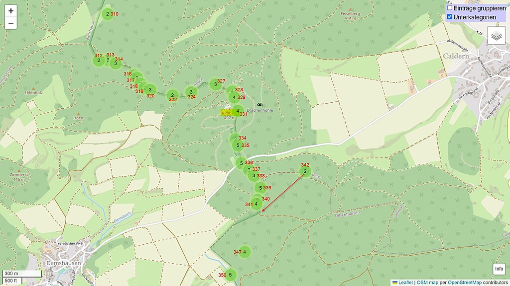
| 22:13, 4 April 2021 |  | 1,920 × 1,080 (206 KB) | HeinrichStuerzl (talk | contribs) | {{Information |description={{de|1=Karte der historischen Grenzsteine an der Grenze zwischen den ehemaligen Landgrafschaften Hessen-Cassel und Hessen-Darmstadt am und um den Rimberg.<br>Beschrifteter Screenshot von wikimap.toolforge.org: Karte mit Bildern aus Wikimedia Commons. * [https://wikimap.toolforge.org/?cat=Boundary_stones_of_Hesse-Darmstadt_and_Hesse-Kassel_border&subcats=true&sub... |
You cannot overwrite this file.
File usage on Commons
The following 6 pages use this file:
- User:Emha/Mittelhessen/2021 April 1-10
- User:Emha/Mittelhessen/2023 March 21-31
- User:Sir James/Mittelhessen/2021 April 4
- User:Sir James/Mittelhessen/2023 March 23
- File:Hinterland Grenzsteine Hessen-Darmstadt und Hesse-Kassel Leaflet, WikiMap with WMFlabs map per OpenStreetMap contributors.jpg (file redirect)
- File:Hinterland Grenzsteine Hessen-Darmstadt und Hessen-Kassel Leaflet, WikiMap with WMFlabs map per OpenStreetMap contributors.jpg (file redirect)
File usage on other wikis
The following other wikis use this file:
- Usage on de.wikipedia.org