File:Reschitz, Mariä Entschlafen, 1.jpeg
Jump to navigation
Jump to search

Size of this preview: 454 × 600 pixels. Other resolutions: 182 × 240 pixels | 363 × 480 pixels | 581 × 768 pixels | 775 × 1,024 pixels | 1,550 × 2,048 pixels | 3,088 × 4,080 pixels.
Original file (3,088 × 4,080 pixels, file size: 4.23 MB, MIME type: image/jpeg)
Captions
Captions
Add a one-line explanation of what this file represents
Summary
[edit]
| Description |
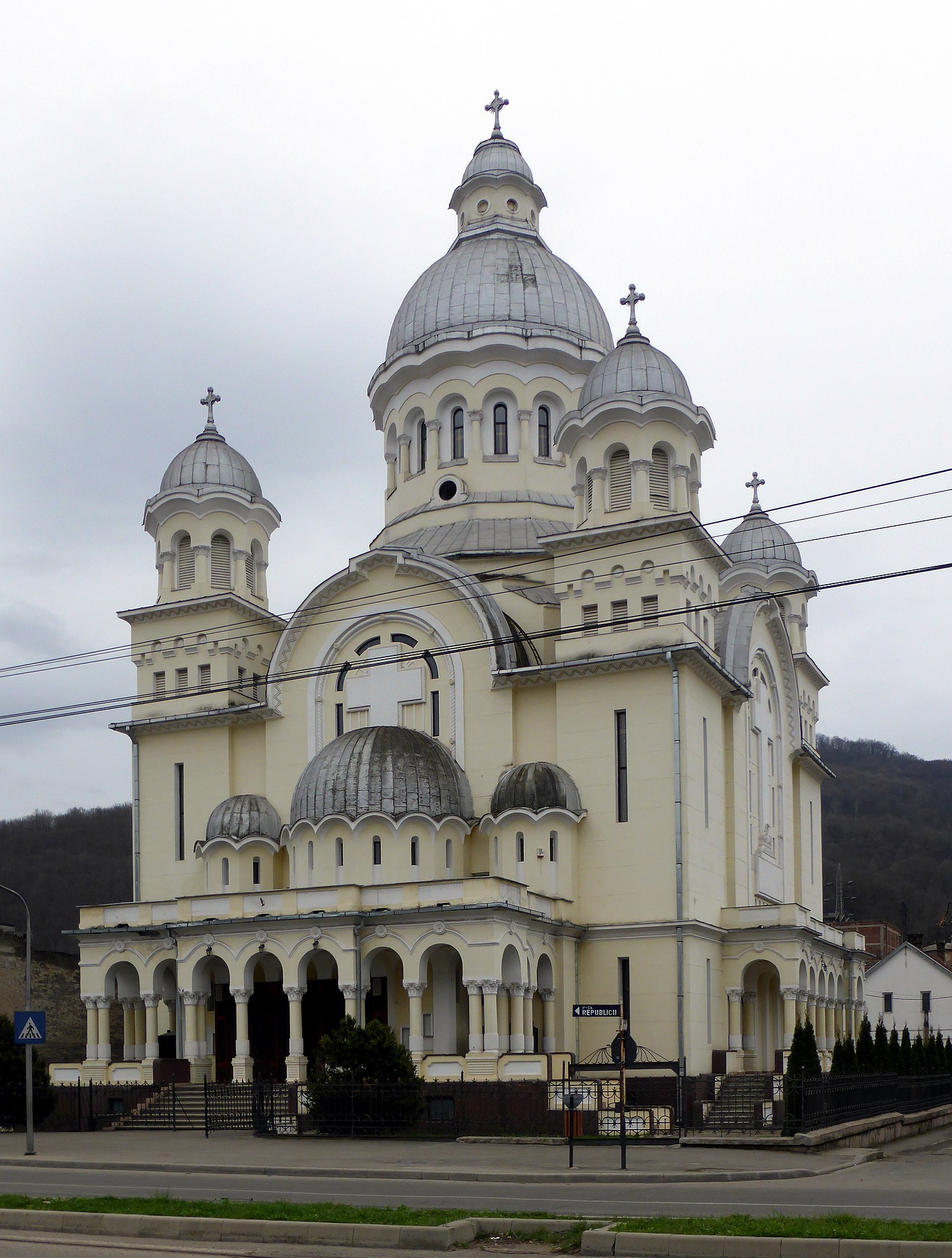
Deutsch: Kirche „Mariä Entschlafen“ in Reschitz (RO).
Esperanto: Preĝejo „Ĉielenpreno de Maria“ en Reŝico (RO).
Magyar: Mária mennybemenetele templom Resicabányán (RO).
Română: Biserica „Adormirea Maicii Domnului“ din Reșița (CS).
|
|||
| Date | ||||
| Source | Self-photographed | |||
| Author | Renardo la vulpo | |||
| Permission (Reusing this file) |
I, the copyright holder of this work, hereby publish it under the following license:
|
| Camera location | | View this and other nearby images on: OpenStreetMap |
|---|
File history
Click on a date/time to view the file as it appeared at that time.
| Date/Time | Thumbnail | Dimensions | User | Comment | |
|---|---|---|---|---|---|
| current | 20:28, 26 March 2018 | | 3,088 × 4,080 (4.23 MB) | Renardo la vulpo (talk | contribs) | {{Information |Description ={{de|1=Kirche „Mariä Entschlafen“ in Reschitz (RO).}} {{eo|1=Preĝejo „Ĉielenpreno de Maria“ en Reŝico (RO).}} {{hu|1=Mária mennybemenetele templom Resicabányán (RO).}} {{ro|1=Biserica „Adormirea Maicii Domnului“ din Reșița (CS).}} |Source ={{self-photographed}} |Author ={{U|Renardo la vulpo}} |Date =2015-03-30 |Permission ={{self|cc-zero}} |other_versions = }} {{Location|45|17|39.4|N|21|54|31.5|E|heading:S}} Category:Churches of the Assumption in Romania Adorm |
You cannot overwrite this file.
File usage on Commons
There are no pages that use this file.
File usage on other wikis
The following other wikis use this file:
- Usage on mdf.wikipedia.org
- Usage on ro.wikipedia.org