File:Reichseiche Willmersdorf, 1933 (Cottbus).png
Jump to navigation
Jump to search

Size of this preview: 800 × 600 pixels. Other resolutions: 320 × 240 pixels | 640 × 480 pixels | 1,024 × 768 pixels | 1,280 × 960 pixels | 2,592 × 1,944 pixels.
Original file (2,592 × 1,944 pixels, file size: 12.14 MB, MIME type: image/png)
Captions
Captions
Add a one-line explanation of what this file represents
Summary[edit]
.png&action=edit§ion=1)
| Description |
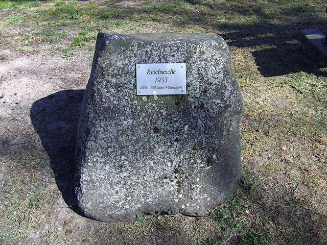
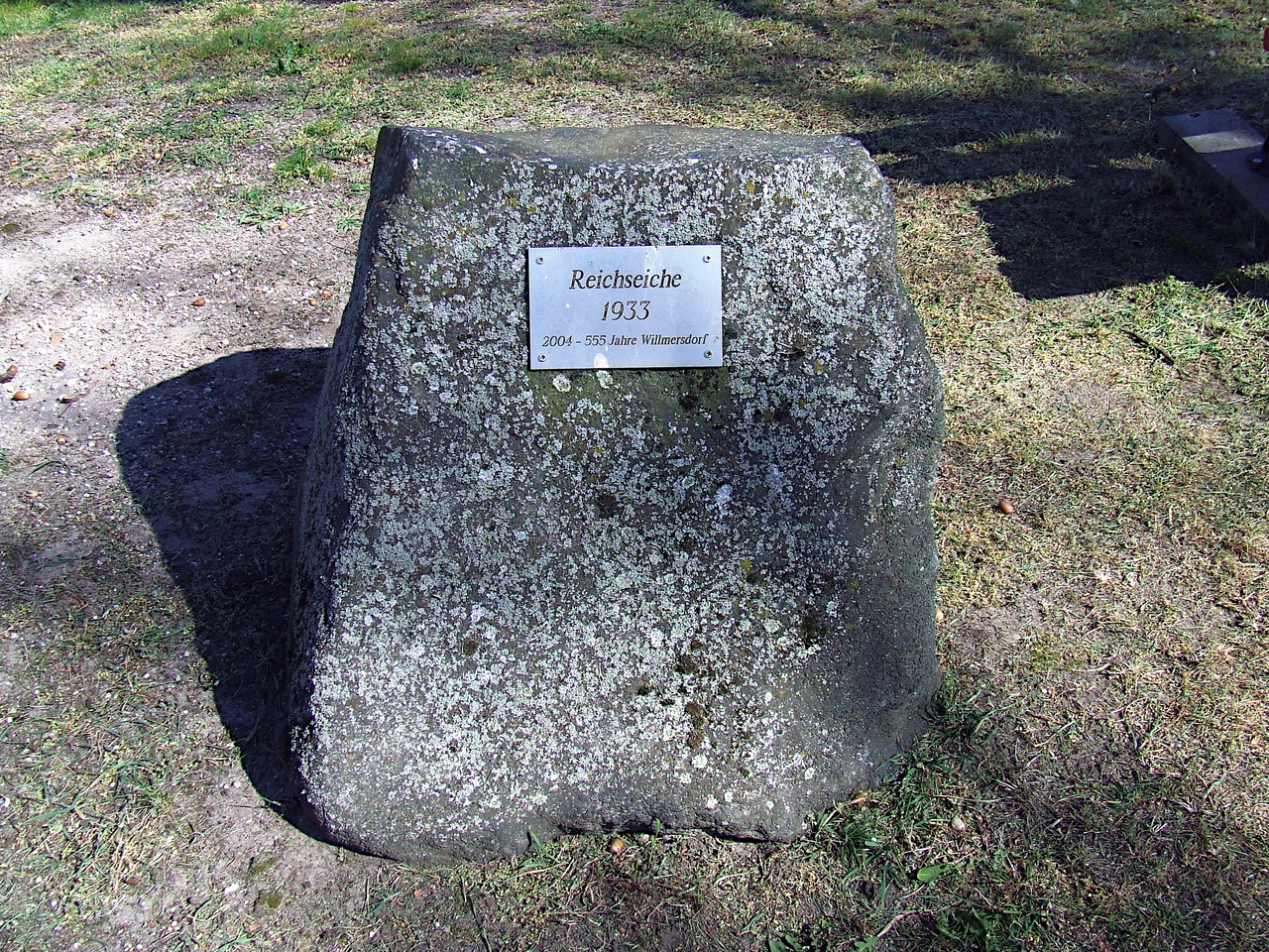
English: Reichseiche (1933) at Dorfstraße in Cottbus-Willmerdorf. It may have been planted to mark the takeover of power in Weimar Germany by the NSDAP on January 30, 1933. |
| Date | |
| Source | Own work |
| Author | Trio3D |
| Camera location | | View this and other nearby images on: OpenStreetMap |
|---|
.png¶ms=051.808447_N_0014.381256_E_globe:Earth_type:camera_heading:135.00&language=en)
This file is licensed under the Creative Commons Attribution-Share Alike 4.0 International license.
- You are free:
- to share – to copy, distribute and transmit the work
- to remix – to adapt the work
- Under the following conditions:
- attribution – You must give appropriate credit, provide a link to the license, and indicate if changes were made. You may do so in any reasonable manner, but not in any way that suggests the licensor endorses you or your use.
- share alike – If you remix, transform, or build upon the material, you must distribute your contributions under the same or compatible license as the original.
File history
Click on a date/time to view the file as it appeared at that time.
| Date/Time | Thumbnail | Dimensions | User | Comment | |
|---|---|---|---|---|---|
| current | 08:16, 23 April 2019 | | 2,592 × 1,944 (12.14 MB) | Trio3D (talk | contribs) | {{Information |description ={{en|1=Reichseiche (1933) at Dorfstraße in Cottbus-Willmerdorf. It may have been planted to mark the takeover of power in Weimar Germany by the NSDAP on January 30, 1933.}} |date =2019-04-21 |source ={{own}} |author =User:Trio3D }} {{Location|51|48|30.41|N|14|22|52.52|E|heading:SE}} {{cc-by-sa-4.0}} Category:Reichseichen (Cottbus-Willmersdorf) Category:Machtergreifung (Hitler) |
You cannot overwrite this file.
File usage on Commons
The following 4 pages use this file:
.png&oldid=688868992)