File:Rainbow Pools on the South Fork of the Tuolumne River.jpg
Jump to navigation
Jump to search

Size of this preview: 800 × 450 pixels. Other resolutions: 320 × 180 pixels | 640 × 360 pixels | 1,024 × 575 pixels | 1,280 × 719 pixels | 2,560 × 1,438 pixels | 4,912 × 2,760 pixels.
Original file (4,912 × 2,760 pixels, file size: 2.31 MB, MIME type: image/jpeg)
Captions
Captions
Add a one-line explanation of what this file represents
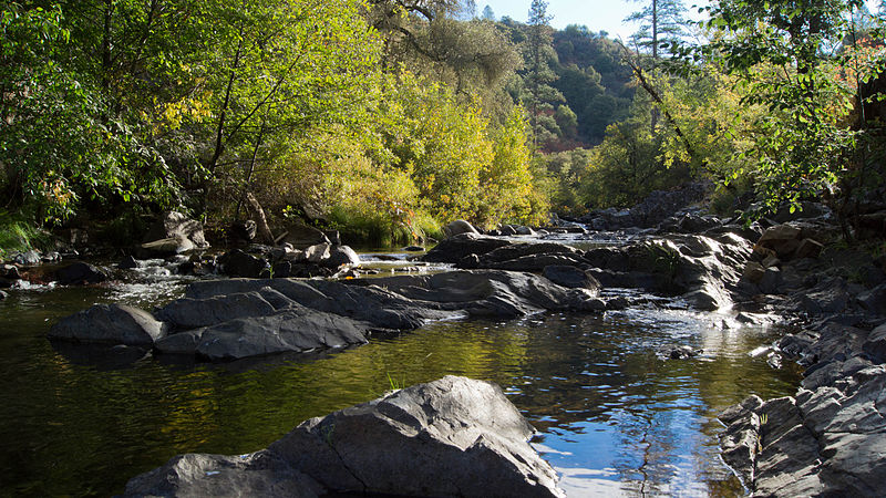
| Description | Rainbow Pools on the South Fork of the Tuolumne River | ||
| Date | |||
| Source | Flickr: Rainbow Pools on the South Fork of the Tuolumne River | ||
| Author | Elaine with Grey Cats | ||
| Permission (Reusing this file) |
This file is licensed under the Creative Commons Attribution-Share Alike 2.0 Generic license.
|
| Camera location | | View this and other nearby images on: OpenStreetMap |
|---|
File history
Click on a date/time to view the file as it appeared at that time.
| Date/Time | Thumbnail | Dimensions | User | Comment | |
|---|---|---|---|---|---|
| current | 22:34, 23 October 2012 | | 4,912 × 2,760 (2.31 MB) | Flickr upload bot (talk | contribs) | Uploaded from http://flickr.com/photo/44124477712@N01/8114517169 using Flickr upload bot |
You cannot overwrite this file.
File usage on Commons
There are no pages that use this file.
File usage on other wikis
The following other wikis use this file:
- Usage on en.wikipedia.org
- Usage on he.wikipedia.org
- Usage on it.wikipedia.org