File:Quebec Autoroute 25.svg
Jump to navigation
Jump to search

Size of this PNG preview of this SVG file: 217 × 289 pixels. Other resolutions: 180 × 240 pixels | 360 × 480 pixels | 577 × 768 pixels | 769 × 1,024 pixels | 1,538 × 2,048 pixels.
Original file (SVG file, nominally 217 × 289 pixels, file size: 6 KB)
Captions
Captions
Add a one-line explanation of what this file represents
| This work is ineligible for copyright and therefore in the public domain because it consists entirely of information that is common property and contains no original authorship. |
File history
Click on a date/time to view the file as it appeared at that time.
| Date/Time | Thumbnail | Dimensions | User | Comment | |
|---|---|---|---|---|---|
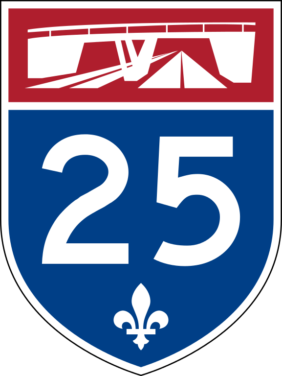
| current | 22:20, 10 March 2015 | | 217 × 289 (6 KB) | Judicieux (talk | contribs) | Rajout du viduac (version libre de droit). Adding uncopyrighted stylized overpass. |
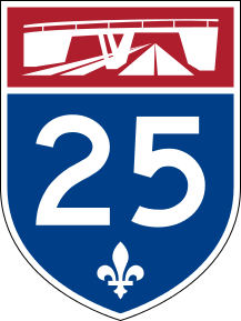
| 02:55, 1 September 2007 |  | 217 × 289 (7 KB) | NE2 (talk | contribs) | {{PD-ineligible}} This is the marker used on Autoroutes in Quebec, modified from Image:Quebec Autoroute template.svg. It does not include the stylized overpass that appears at the top of real signs, since that portion is copyrighted. [[Category:Road |
You cannot overwrite this file.
File usage on Commons
The following 2 pages use this file:
File usage on other wikis
The following other wikis use this file:
- Usage on de.wikipedia.org
- Vorlage:Infobox hochrangige Straße/Konfiguration/CA
- Vorlage:Infobox hochrangige Straße/Konfiguration/CA/Doku
- Liste der hochrangigen Straßen in Québec
- Autoroute 20 (Québec)
- Autoroute 25 (Québec)
- Autoroute 40 (Québec)
- Route 125 (Québec)
- Route 138 (Québec)
- Diskussion:Autoroute 20 (Québec)
- Diskussion:Route 138 (Québec)
- Usage on en.wikipedia.org
- Autoroutes of Quebec
- Terrebonne, Quebec
- Mascouche
- List of bridges to the Island of Montreal
- Jacques Cartier Bridge
- Les Moulins Regional County Municipality
- Montcalm Regional County Municipality
- Quebec Autoroute 20
- Laviolette Bridge
- Quebec Autoroute 40
- Quebec Autoroute 25
- Quebec Route 132
- Quebec Route 138
- List of highways numbered 25
- Quebec Route 136 (Montreal)
- Pie IX Bridge
- Louis-Hippolyte Lafontaine Bridge–Tunnel
- Anjou, Quebec
- Montréal-Nord
- Saint-François, Laval
- Quebec Autoroute 30
- Quebec Autoroute 440 (Laval)
- Quebec Autoroute 640
- Quebec Route 344
- Quebec Route 158
- Quebec Route 125
- List of crossings of the St. Lawrence River and the Great Lakes
- List of crossings of the Rivière des Prairies
- List of crossings of the Rivière des Mille Îles
- Le Vieux-Longueuil
- Quebec Route 337
- Quebec Route 339
- Saint-Roch-de-l'Achigan, Quebec
- Rivière des Prairies generating station
- Urban agglomeration of Longueuil
- Sherbrooke Street
- User talk:Blanchardb/Archive 3
- Notre-Dame Street
- Olivier-Charbonneau Bridge
- Charles de Gaulle Bridge
View more global usage of this file.