File:Pruszcz Gdański location map.svg
Jump to navigation
Jump to search

Size of this PNG preview of this SVG file: 579 × 600 pixels. Other resolutions: 232 × 240 pixels | 463 × 480 pixels | 742 × 768 pixels | 989 × 1,024 pixels | 1,978 × 2,048 pixels | 1,235 × 1,279 pixels.
Original file (SVG file, nominally 1,235 × 1,279 pixels, file size: 2.05 MB)
Captions
Captions
Add a one-line explanation of what this file represents
| Description |
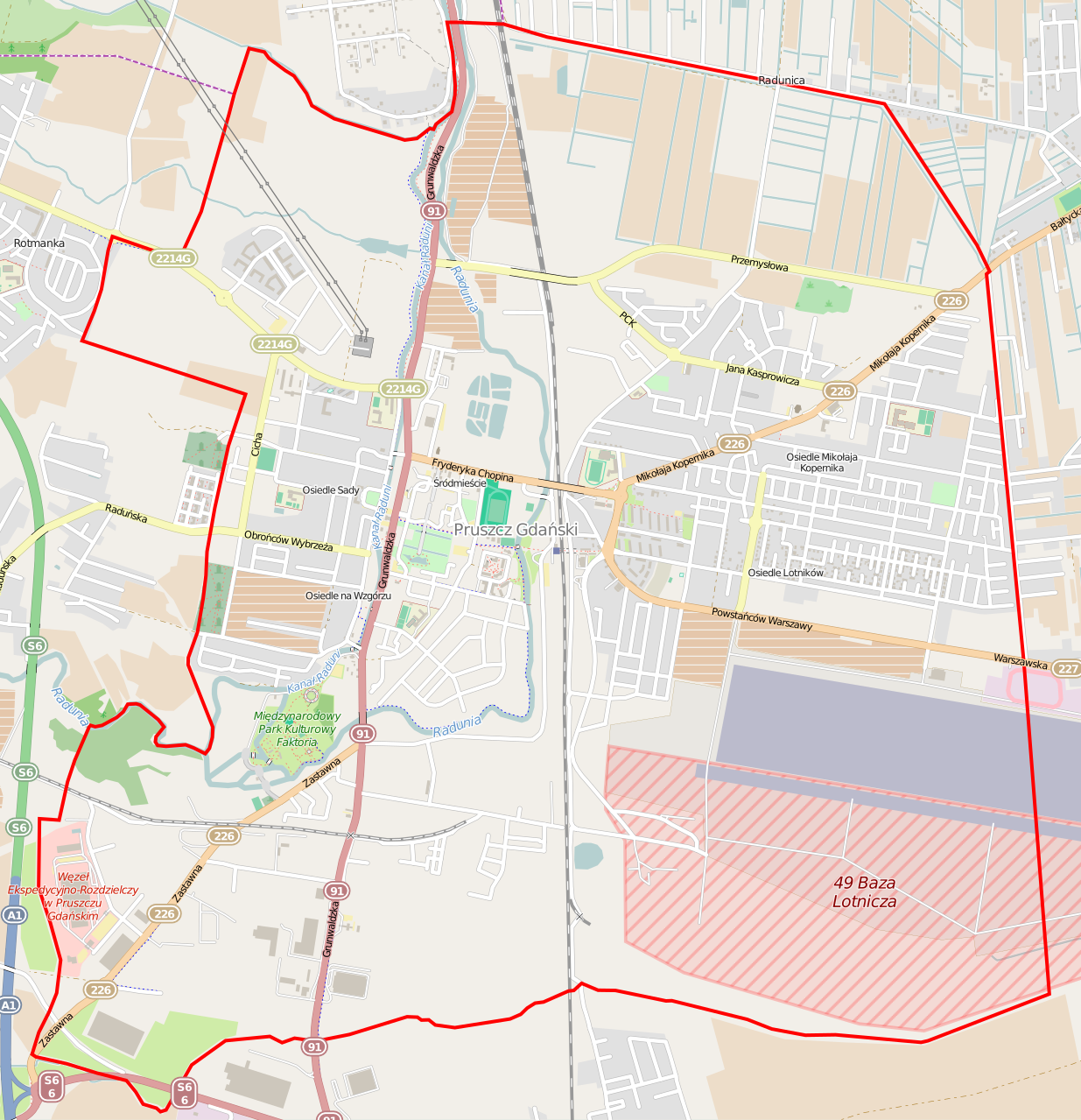
Polski: Mapa Pruszcza Gdańskiego, Polska
English: Map of Pruszcz Gdański, Poland |
|||||||||
| Date | ||||||||||
| Source | You may find a page on the OpenStreetMap wiki page for Pruszcz Gdański | |||||||||
| Creator |
OpenStreetMap contributors OpenStreetMap contributors |
|||||||||
| Permission (Reusing this file) |
OpenStreetMap data is available under the Open Database License (details). Map tiles are licensed under the Creative Commons Attribution-ShareAlike 2.0 license (CC-BY-SA 2.0).
This file is licensed under the Creative Commons Attribution-Share Alike 2.0 Generic license.
|
|||||||||
| Geotemporal data | ||||||||||
| Bounding box |
|
|||||||||
| Georeferencing | If inappropriate please set warp_status = skip to hide. | |||||||||
File history
Click on a date/time to view the file as it appeared at that time.
| Date/Time | Thumbnail | Dimensions | User | Comment | |
|---|---|---|---|---|---|
| current | 05:37, 5 February 2015 | | 1,235 × 1,279 (2.05 MB) | ArkadiuszZ (talk | contribs) | {{OpenStreetMap | name = Pruszcz Gdański | location = Pruszcz Gdański | description = {{pl|Mapa Pruszcza Gdańskiego, Polska}} {{en|Map of Pruszcz Gdański, Poland}} | top = 54.2806 | left = 18.... |
You cannot overwrite this file.
File usage on Commons
There are no pages that use this file.
File usage on other wikis
The following other wikis use this file:
- Usage on pl.wikipedia.org
- Lotnisko Pruszcz Gdański
- Ulica Grunwaldzka w Pruszczu Gdańskim
- Pruszcz Gdański (stacja kolejowa)
- Parafia Matki Boskiej Nieustającej Pomocy w Pruszczu Gdańskim
- Parafia Podwyższenia Krzyża Świętego w Pruszczu Gdańskim
- Parafia bł. Michała Kozala w Pruszczu Gdańskim
- Cukrownia „Pruszcz”
- Aeroklub Gdański
- Lądowisko Pruszcz-Aeroklub
- Kościół Matki Boskiej Nieustającej Pomocy w Pruszczu Gdańskim
- Kościół Podwyższenia Krzyża Świętego w Pruszczu Gdańskim
- Moduł:Mapa/dane/Pruszcz Gdański
- Lipowy dwór w Pruszczu Gdańskim
- Stadion CKiS-u w Pruszczu Gdańskim
- Dom Wiedemanna
- Usage on pl.wikibooks.org