File:Provence-Alpes-Côte d’Azur region locator map.svg
Jump to navigation
Jump to search

Size of this PNG preview of this SVG file: 624 × 600 pixels. Other resolutions: 250 × 240 pixels | 499 × 480 pixels | 799 × 768 pixels | 1,066 × 1,024 pixels | 2,131 × 2,048 pixels | 2,000 × 1,922 pixels.
Original file (SVG file, nominally 2,000 × 1,922 pixels, file size: 546 KB)
Captions
Captions
Add a one-line explanation of what this file represents
Summary
[edit]
| Description |
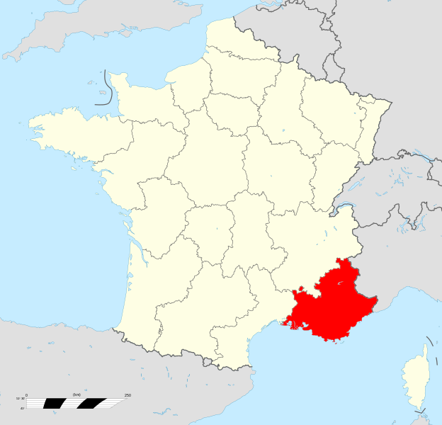
Français : Carte administrative représentation la région Provence-Alpes-Côte d'Azur sur une carte de France métropolitaine. |
| Date | |
| Source | File:France_location_map-Regions.svg |
| Author | Original map: Sting, modifications by Wikialine |
| Permission (Reusing this file) |
Attribution and Share-Alike required |
Licensing
[edit]
I, the copyright holder of this work, hereby publish it under the following licenses:

|
Permission is granted to copy, distribute and/or modify this document under the terms of the GNU Free Documentation License, Version 1.2 or any later version published by the Free Software Foundation; with no Invariant Sections, no Front-Cover Texts, and no Back-Cover Texts. A copy of the license is included in the section entitled GNU Free Documentation License. |
This file is licensed under the Creative Commons Attribution-Share Alike 3.0 Unported license.
- You are free:
- to share – to copy, distribute and transmit the work
- to remix – to adapt the work
- Under the following conditions:
- attribution – You must give appropriate credit, provide a link to the license, and indicate if changes were made. You may do so in any reasonable manner, but not in any way that suggests the licensor endorses you or your use.
- share alike – If you remix, transform, or build upon the material, you must distribute your contributions under the same or compatible license as the original.
You may select the license of your choice.
File history
Click on a date/time to view the file as it appeared at that time.
| Date/Time | Thumbnail | Dimensions | User | Comment | |
|---|---|---|---|---|---|
| current | 17:08, 8 December 2013 | | 2,000 × 1,922 (546 KB) | Fandecaisses (talk | contribs) | + enclave des papes |
| 12:46, 28 December 2009 |  | 2,000 × 1,922 (545 KB) | Los688 (talk | contribs) | m | |
| 21:09, 1 September 2009 |  | 2,000 × 1,922 (528 KB) | Wikialine (talk | contribs) | {{Information |Description={{fr|1=Carte administrative représentation la région Provence-Alpes-Côte d'Azur sur une carte de France métropolitaine.}} |Source=Travail personnel |Author=Wikialine |Date=1 septembre 2009 |Permission=LIbre de droit |other_v |
You cannot overwrite this file.
File usage on Commons
The following 12 pages use this file:
- Locator maps of regions of France
- Provence
- File:Provence-Alpes-Côte d'Azur region locator map.svg (file redirect)
- Category:Coats of arms in Provence-Alpes-Côte d'Azur
- Category:Flags in Provence-Alpes-Côte d'Azur
- Category:Maps of Provence
- Category:People of Provence
- Category:Provence
- Category:Provence-Alpes-Côte d'Azur
File usage on other wikis
The following other wikis use this file:
- Usage on an.wikipedia.org
- Usage on ar.wikipedia.org
- Usage on ast.wikipedia.org
- Usage on bo.wikipedia.org
- Usage on ca.wikipedia.org
- Usage on da.wikipedia.org
- Usage on eo.wikipedia.org
- Usage on fr.wikipedia.org
- Usage on gd.wikipedia.org
- Usage on gl.wikipedia.org
- Usage on hy.wikipedia.org
- Usage on incubator.wikimedia.org
- Usage on it.wikivoyage.org
- Usage on li.wikipedia.org
- Usage on mg.wikipedia.org
- Usage on mr.wikipedia.org
- Usage on nl.wikipedia.org
- Usage on oc.wikipedia.org
- Usage on pl.wikipedia.org
- Usage on pl.wikivoyage.org
- Usage on ro.wikipedia.org
- Usage on ru.wikipedia.org
- Usage on ru.wikinews.org
- Usage on szl.wikipedia.org
- Usage on th.wikipedia.org
- Usage on tr.wikipedia.org
- Usage on uk.wikipedia.org
- Usage on www.wikidata.org