File:Protectorate Of Bohemia and Moravia.png
Jump to navigation
Jump to search

Size of this preview: 800 × 506 pixels. Other resolutions: 320 × 202 pixels | 640 × 404 pixels | 1,024 × 647 pixels | 1,280 × 809 pixels | 3,000 × 1,896 pixels.
Original file (3,000 × 1,896 pixels, file size: 1.21 MB, MIME type: image/png)
Captions
Captions
Add a one-line explanation of what this file represents

|
This locator map image could be re-created using vector graphics as an SVG file. This has several advantages; see Commons:Media for cleanup for more information. If an SVG form of this image is available, please upload it and afterwards replace this template with
{{vector version available|new image name}}.
It is recommended to name the SVG file “Protectorate Of Bohemia and Moravia.svg”—then the template Vector version available (or Vva) does not need the new image name parameter. |
Summary[edit]
| Description |
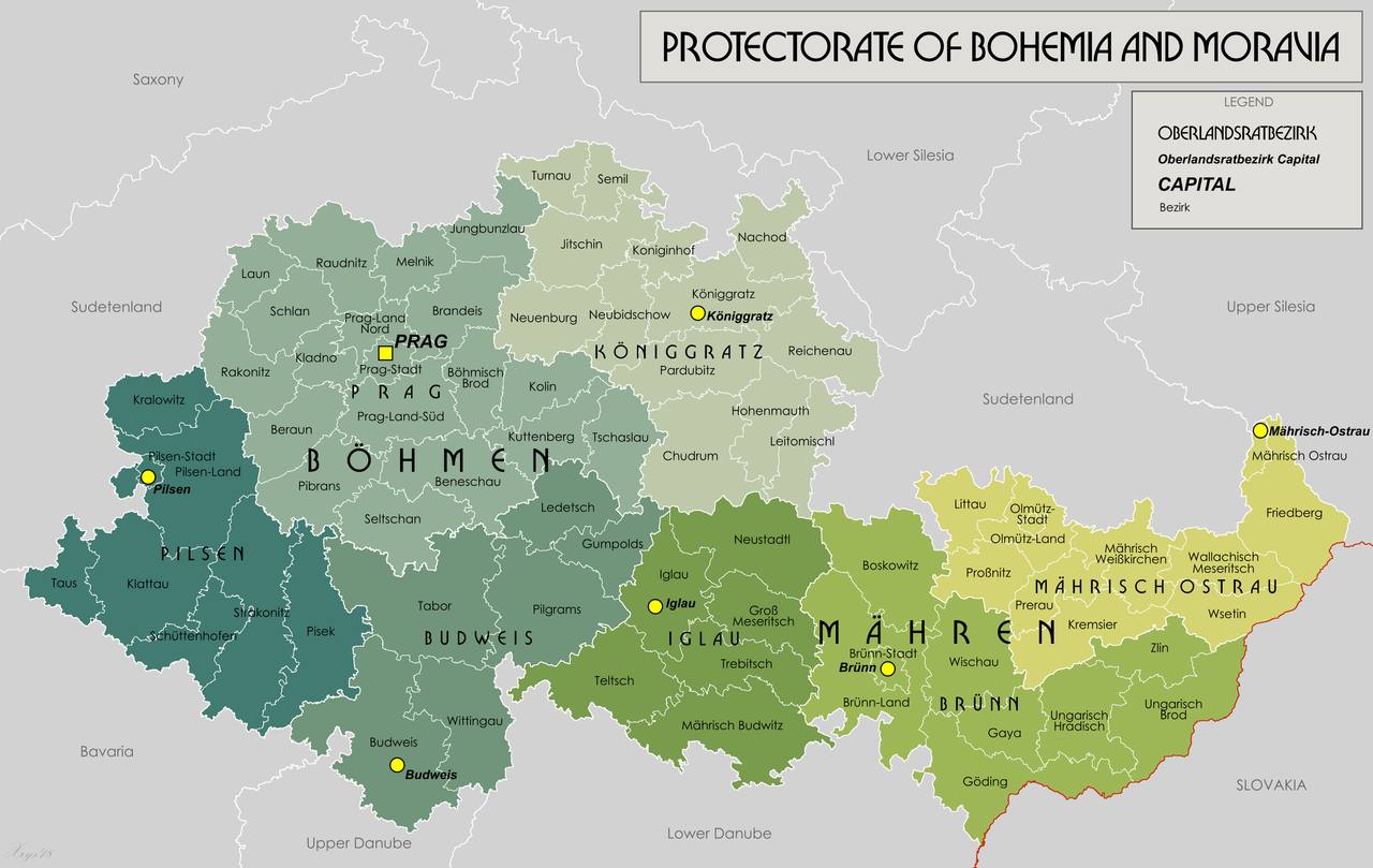
English: English version of File:Protektorat_Bohmen-Mahren.png |
| Date | |
| Source | Own work |
| Author | XrysD |
Licensing[edit]
I, the copyright holder of this work, hereby publish it under the following license:
This file is licensed under the Creative Commons Attribution-Share Alike 3.0 Unported license.
- You are free:
- to share – to copy, distribute and transmit the work
- to remix – to adapt the work
- Under the following conditions:
- attribution – You must give appropriate credit, provide a link to the license, and indicate if changes were made. You may do so in any reasonable manner, but not in any way that suggests the licensor endorses you or your use.
- share alike – If you remix, transform, or build upon the material, you must distribute your contributions under the same or compatible license as the original.
File history
Click on a date/time to view the file as it appeared at that time.
| Date/Time | Thumbnail | Dimensions | User | Comment | |
|---|---|---|---|---|---|
| current | 17:38, 21 January 2020 | | 3,000 × 1,896 (1.21 MB) | XrysD (talk | contribs) | Typo: Güding-->Göding |
| 15:24, 28 May 2018 |  | 3,000 × 1,896 (1.29 MB) | XrysD (talk | contribs) | Typo Iglaü-->Iglau | |
| 15:28, 11 March 2014 |  | 3,000 × 1,896 (1.22 MB) | XrysD (talk | contribs) | Line thickness increased and some labels darkened to improve clarity and legibility. | |
| 16:54, 3 March 2014 |  | 3,000 × 1,896 (1.15 MB) | XrysD (talk | contribs) | Completely new version of map. New data digitised from Karte des Deutschen Reiches 1:100 000. | |
| 19:52, 27 May 2012 |  | 1,588 × 1,066 (1.04 MB) | XrysD (talk | contribs) |
You cannot overwrite this file.
File usage on Commons
There are no pages that use this file.
File usage on other wikis
The following other wikis use this file:
- Usage on ar.wikipedia.org
- Usage on azb.wikipedia.org
- Usage on bs.wikipedia.org
- Usage on de.wikipedia.org
- Usage on de.wikiversity.org
- Usage on en.wikipedia.org
- Usage on et.wikipedia.org
- Usage on ja.wikipedia.org
- Usage on ko.wikipedia.org
- Usage on mk.wikipedia.org
- Usage on pt.wikipedia.org
- Usage on sh.wikipedia.org
- Usage on sr.wikipedia.org
- Usage on uk.wikipedia.org
- Usage on vi.wikipedia.org
- Usage on zh.wikipedia.org