File:Principaute de Catalogne.jpg
Jump to navigation
Jump to search

Size of this preview: 799 × 599 pixels. Other resolutions: 320 × 240 pixels | 640 × 480 pixels | 1,024 × 768 pixels | 1,280 × 960 pixels | 1,733 × 1,300 pixels.
Original file (1,733 × 1,300 pixels, file size: 3.16 MB, MIME type: image/jpeg)
Captions
Captions
Add a one-line explanation of what this file represents
Summary
[edit]
| Description |
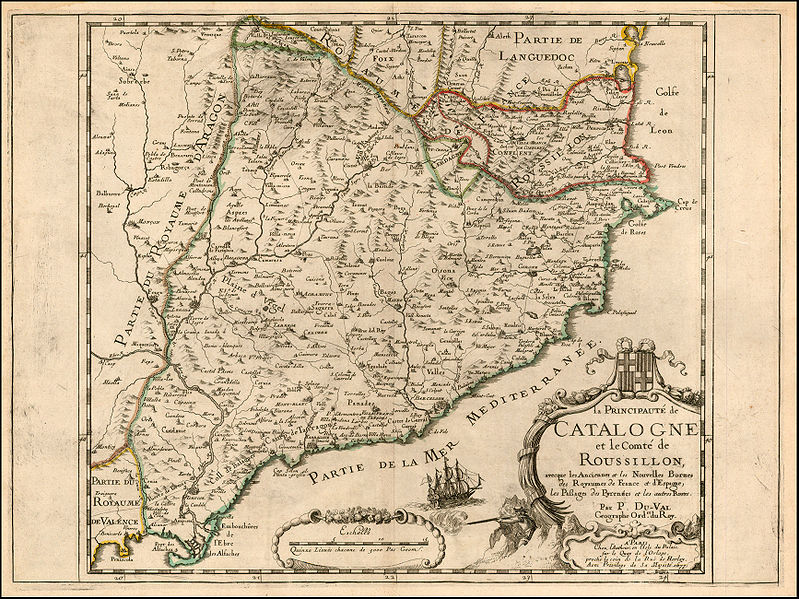
Español: Principado de Cataluña y Condado de Rosellón. Mapa de Pierre du Val, París, 1677.
Français : Principauté de Catalogne et Comté de Roussillon, avec les nouvelles bornes entre la France et l'Espagne. Carte de Pierre du Val, Paris, 1677. |
| Date | |
| Source | http://www.raremaps.com/gallery/enlarge/19880 |
| Author | Pierre Du Val |
Licensing
[edit]
|
This work is in the public domain in its country of origin and other countries and areas where the copyright term is the author's life plus 100 years or fewer. | |
| This file has been identified as being free of known restrictions under copyright law, including all related and neighboring rights. | |
File history
Click on a date/time to view the file as it appeared at that time.
| Date/Time | Thumbnail | Dimensions | User | Comment | |
|---|---|---|---|---|---|
| current | 01:06, 29 September 2009 | | 1,733 × 1,300 (3.16 MB) | Escarlati (talk | contribs) | {{Information |Description={{es|1=Principado de Cataluña. Mapa de Pierre du Val, París, 1677.}} |Source=http://www.raremaps.com/gallery/enlarge/19880 |Author=Pierre Du Val |Date=1677 |Permission= |other_versions= }} Category:Old maps of Catalonia |
You cannot overwrite this file.
File usage on Commons
There are no pages that use this file.
File usage on other wikis
The following other wikis use this file:
- Usage on ca.wikipedia.org
- Usage on es.wikipedia.org
- Usage on fr.wikipedia.org
- Usage on hr.wikipedia.org
- Usage on it.wikipedia.org
- Usage on ru.wikipedia.org
- Usage on sh.wikipedia.org