File:Powiat malborski location map.png
Jump to navigation
Jump to search
Size of this preview: 700 × 599 pixels. Other resolutions: 280 × 240 pixels | 561 × 480 pixels | 731 × 626 pixels.
Original file (731 × 626 pixels, file size: 116 KB, MIME type: image/png)
Captions
Captions
Add a one-line explanation of what this file represents
| Description |
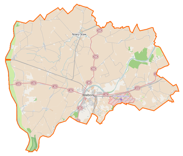
Polski: Mapa powiatu malborskiego, Polska
English: Map of Powiat malborski, Poland |
|||||||||
| Date | ||||||||||
| Source | You may find a page on the OpenStreetMap wiki page for Powiat malborski | |||||||||
| Creator |
OpenStreetMap contributors OpenStreetMap contributors |
|||||||||
| Permission (Reusing this file) |
OpenStreetMap data is available under the Open Database License (details). Map tiles are licensed under the Creative Commons Attribution-ShareAlike 2.0 license (CC-BY-SA 2.0).
This file is licensed under the Creative Commons Attribution-Share Alike 2.0 Generic license.
|
|||||||||
| Geotemporal data | ||||||||||
| Bounding box |
|
|||||||||
| Georeferencing | If inappropriate please set warp_status = skip to hide. | |||||||||
File history
Click on a date/time to view the file as it appeared at that time.
| Date/Time | Thumbnail | Dimensions | User | Comment | |
|---|---|---|---|---|---|
| current | 10:10, 24 January 2015 | | 731 × 626 (116 KB) | VanWiel (talk | contribs) | {{OpenStreetMap | name = Powiat malborski | location = Powiat malborski | description = {{pl|Mapa powiatu malborskiego, Polska}} {{en|Map of Powiat malborski, Poland}} | top = 54.1872 | bottom = 53.... |
You cannot overwrite this file.
File usage on Commons
There are no pages that use this file.
File usage on other wikis
The following other wikis use this file:
- Usage on eo.wikipedia.org
- Usage on pl.wikipedia.org
- Malbork
- Miłoradz
- Pogorzała Wieś
- Powiat malborski
- Zamek w Malborku
- Nowy Staw
- Boręty
- Boręty Pierwsze
- Bystrze (województwo pomorskie)
- Chlebówka
- Gnojewo (województwo pomorskie)
- Grobelno (Polska)
- Kławki
- Królewo Malborskie
- Kaczynos
- Kaczynos-Kolonia
- Kapustowo
- Kikojty
- Kościeleczki
- Lichnówki
- Lichnówki Pierwsze
- Lisewo Malborskie
- Lubstowo
- Martąg
- Mątowy Małe
- Mątowy Wielkie
- Myszewo
- Nidowo
- Nowa Wieś Malborska
- Parszewo
- Parwark
- Pielica
- Pordenowo
- Półmieście
- Pręgowo Żuławskie
- Szaleniec
- Szawałd
- Szlagnowo
- Szymankowo (województwo pomorskie)
- Stara Kościelnica
- Stara Wisła (wieś)
- Stare Pole (województwo pomorskie)
- Tragamin
- Tralewo (województwo pomorskie)
- Trępnowy
- Tropiszewo
- Brzózki (województwo pomorskie)
- Cisy (wieś w powiecie malborskim)
- Janówka (województwo pomorskie)
View more global usage of this file.